Related Images


Download:
| Tiny | 149x128 | View | Download |
| Small | 299x256 | View | Download |
| Medium | 598x512 | View | Download |
| Original | 659x564 | View | Download |
This image was acquired from
wikimedia. It was marked as Public Domain or CC0 and is free to use. To verify, go to the source and check the information there.
Looking for more info about this image?
Try a Google Reverse Image Search for it.
Try a Google Reverse Image Search for it.
Keywords from Image Description:
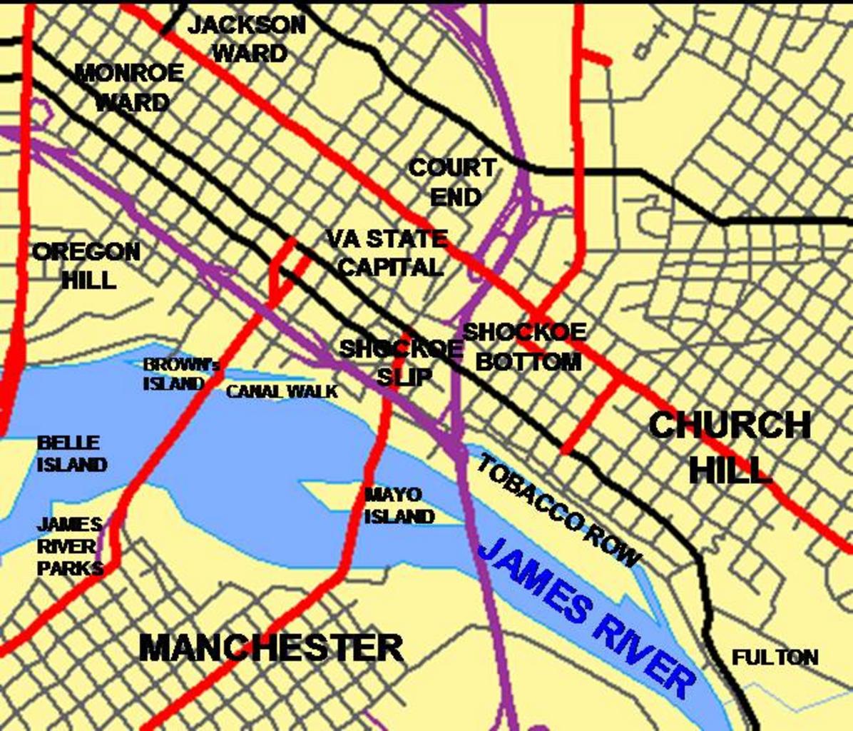
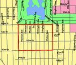
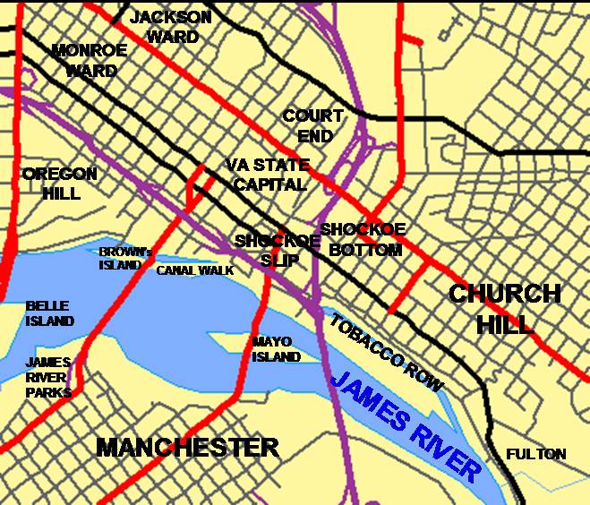
DowntownRichmondNeighborhoods. Created by User MPS using census gov TIGER MAP tool at the US census bureau page Titles were added by author using MS Powerpoint and MS Paint Oregon Hill is in the wrong place and should be west of Belvidere St That area is part of Monroe Ward suspect en MPS en Convert to SVG MPS Original upload