
Related Images


Download:
| Tiny | 80x128 | View | Download |
| Small | 160x256 | View | Download |
| Medium | 320x512 | View | Download |
| Large | 641x1024 | View | Download |
| Original png | 778x1242 | View | Download |
| Original as jpg | 778x1242 | View | Download |
This image was acquired from
wikimedia. It was marked as Public Domain or CC0 and is free to use. To verify, go to the source and check the information there.
Looking for more info about this image?
Try a Google Reverse Image Search for it.
Try a Google Reverse Image Search for it.
Keywords from Image Description:
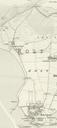
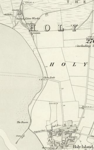
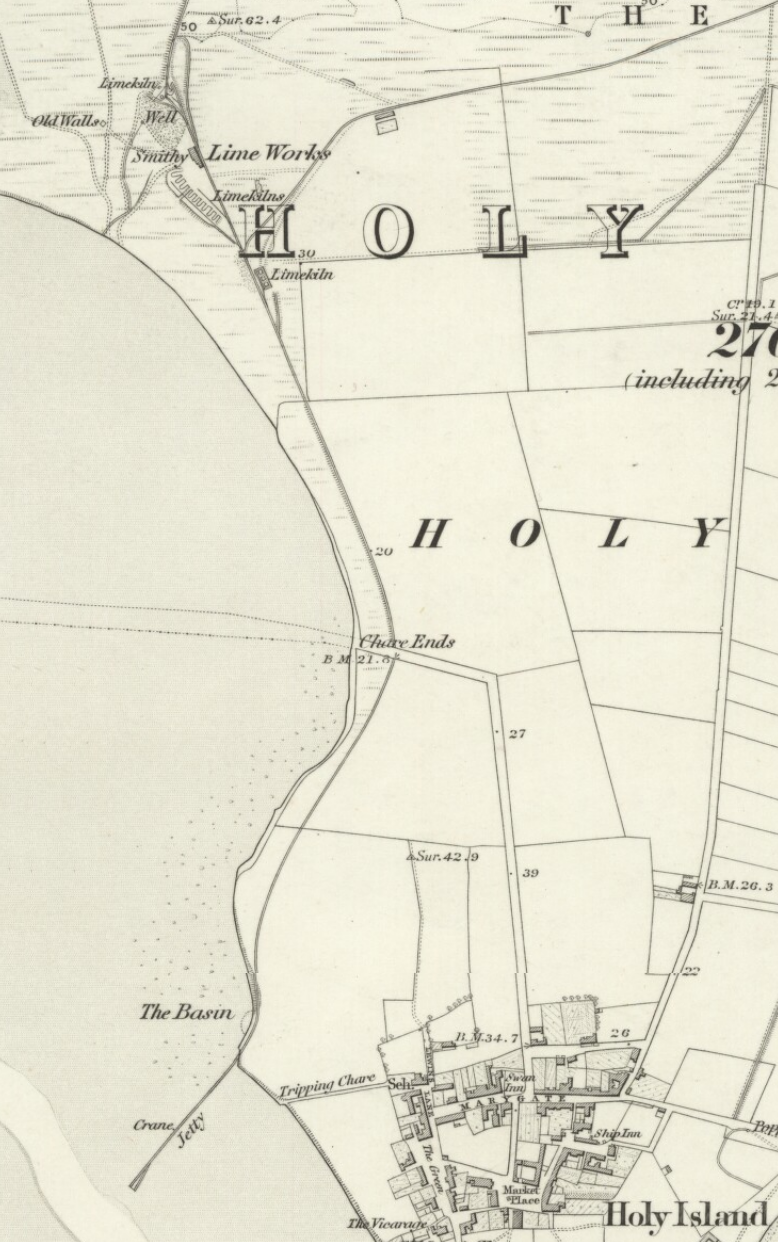
Earlier Holy Island Waggonway to jetty on the SW of the island. en Earlier Holy Island Waggonway to jetty on the SW of the island Surveyed Published nls uk OS map Northumberland XII includes Elwick Holy Island Kyloe Ross provided by National Library of Scotland Ordnance Survey sixinch England and Wales other versions PDold