
Related Images


Download:
| Tiny | 145x128 | View | Download |
| Small | 290x256 | View | Download |
| Medium | 581x512 | View | Download |
| Large | 1162x1024 | View | Download |
| Original | 8176x7200 | View | Download |
This image was acquired from
wikimedia. It was marked as Public Domain or CC0 and is free to use. To verify, go to the source and check the information there.
Looking for more info about this image?
Try a Google Reverse Image Search for it.
Try a Google Reverse Image Search for it.
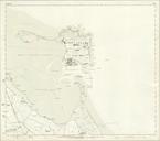
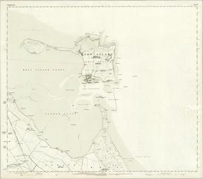
Keywords from Image Description:
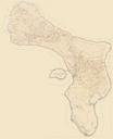
Northumberland Map Sheets VIII IIX stitched including Elwick Holy Island Kyloe Ross. Area of BELFORD Surveyed in by Major Burnaby Contoured in by Capt James Engraved in under the Direction of Colonel Cameron Published by Colonel Sir James st March own LangSwitch based on the following documents basierend auf den folgenden Dokumenten