
Related Images


Download:
| Tiny | 175x128 | View | Download |
| Small | 351x256 | View | Download |
| Medium | 702x512 | View | Download |
| Large | 1404x1024 | View | Download |
| Original | 5000x3646 | View | Download |
This image was acquired from
wikimedia. It was marked as Public Domain or CC0 and is free to use. To verify, go to the source and check the information there.
Looking for more info about this image?
Try a Google Reverse Image Search for it.
Try a Google Reverse Image Search for it.
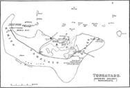
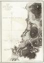
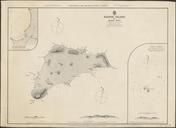
Keywords from Image Description:
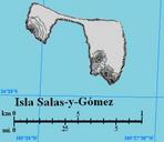
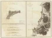
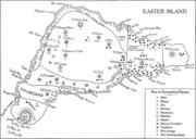
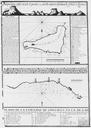
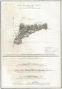
Easter Island and Sala Gomez map nla.obj. InteractiveViewer en Map of Easter Island and Sala Gmez nla gov au versionId Great Britain Hydrographic Department Potter John Evans Frederick John Davies Company other versions PDold Old Maps of Easter Island Sala Gmez maps