
Related Images
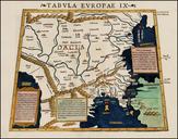


Download:
| Tiny | 161x128 | View | Download |
| Small | 323x256 | View | Download |
| Medium | 646x512 | View | Download |
| Large | 1293x1024 | View | Download |
| Original | 3360x2660 | View | Download |
This image was acquired from
wikimedia. It was marked as Public Domain or CC0 and is free to use. To verify, go to the source and check the information there.
Looking for more info about this image?
Try a Google Reverse Image Search for it.
Try a Google Reverse Image Search for it.
Keywords from Image Description:
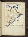
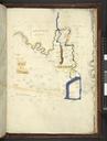
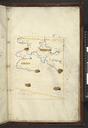
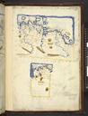
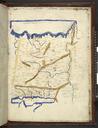
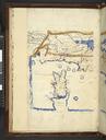
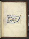
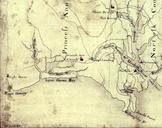
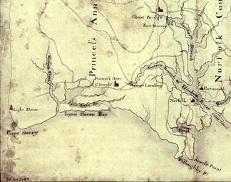
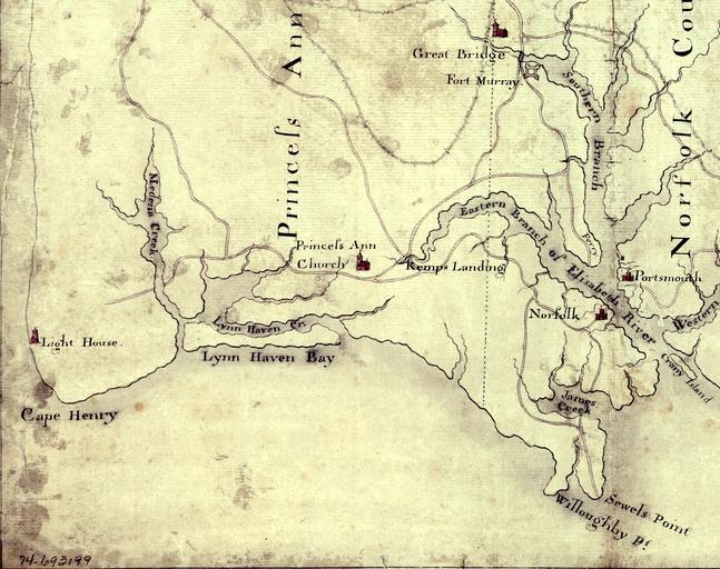
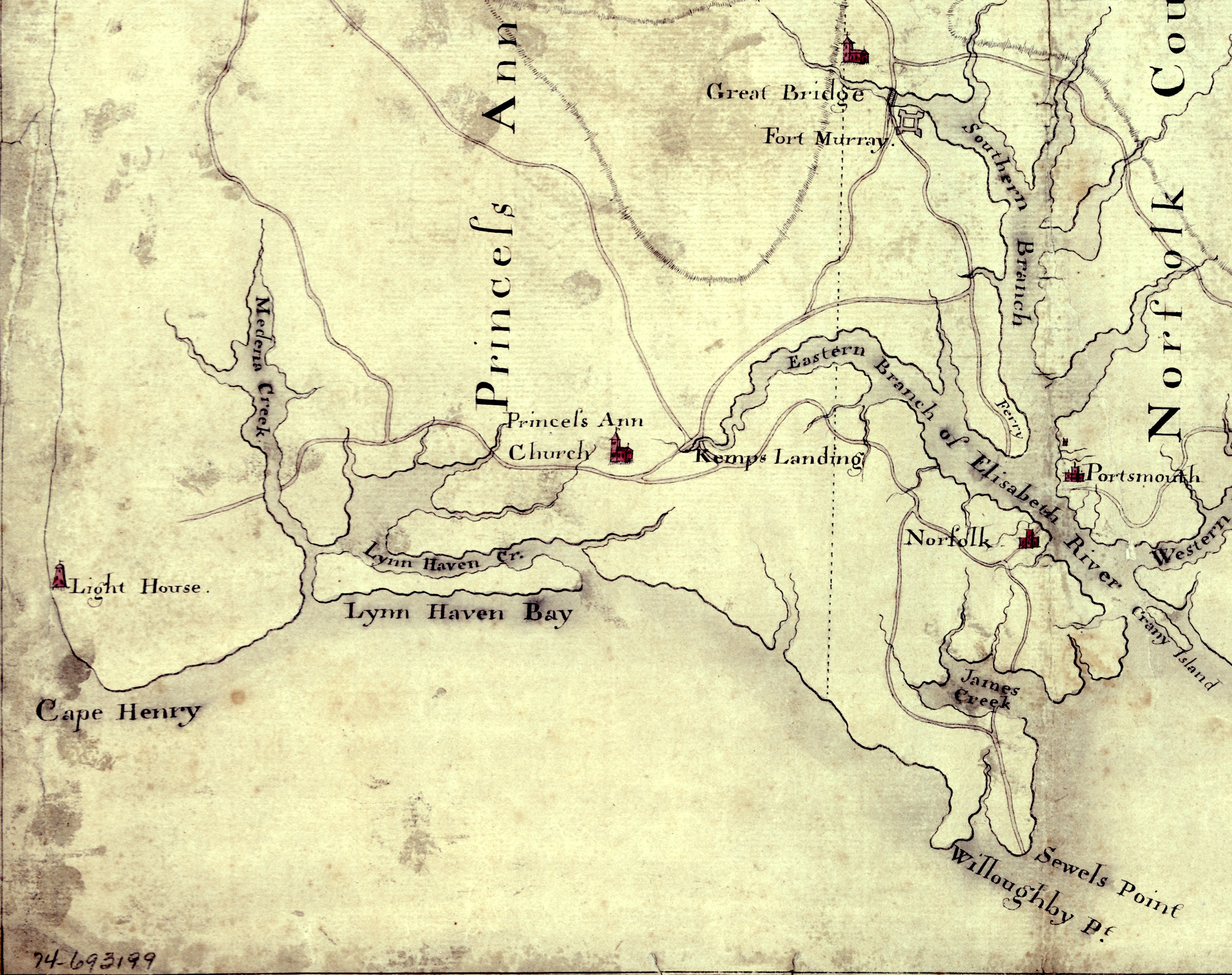
EasternVirginia. Detail of manuscript map depicting the eastern coastal areas of Virginia including portions of Princess Anne and Norfolk counties The map is oriented with North to the bottom and South to the top Part of the mouth of Chesapeake Bay is visible at the bottom of the map The map depicts the sites of several military