
Related Images


This image was acquired from
wikimedia. It was marked as Public Domain or CC0 and is free to use. To verify, go to the source and check the information there.
Looking for more info about this image?
Try a Google Reverse Image Search for it.
Try a Google Reverse Image Search for it.
Keywords from Image Description:
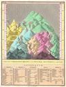
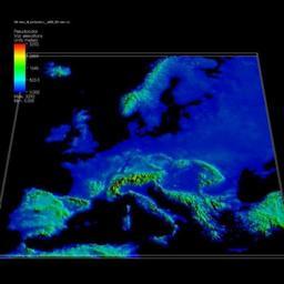
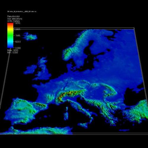
Elevation map of Europe. en Elevation map of Europe The featured plot shows an elevation map of Europe produced from rectilinear NetCDF dataset in which cells at sea level have been removed Data courtesy of Peter Goldstein Ph LLNL llnl gov html Visualizations that have been created with VisIt at wci llnl gov Peter Goldstein Ph LLNL