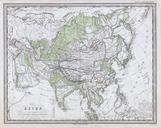
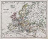
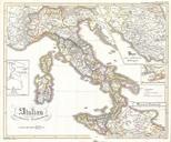
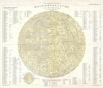
Related Images

Download:
| Tiny | 158x128 | View | Download |
| Small | 317x256 | View | Download |
| Medium | 634x512 | View | Download |
| Large | 1269x1024 | View | Download |
| Original | 3259x2629 | View | Download |
This image was acquired from
wikimedia. It was marked as Public Domain or CC0 and is free to use. To verify, go to the source and check the information there.
Looking for more info about this image?
Try a Google Reverse Image Search for it.
Try a Google Reverse Image Search for it.
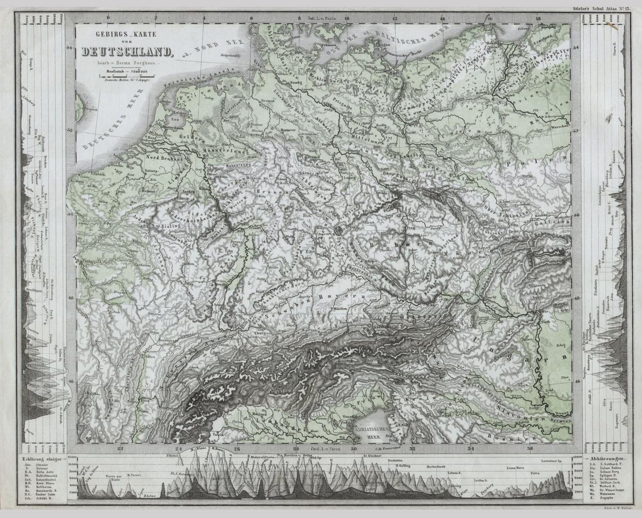
Keywords from Image Description:
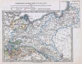
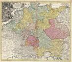
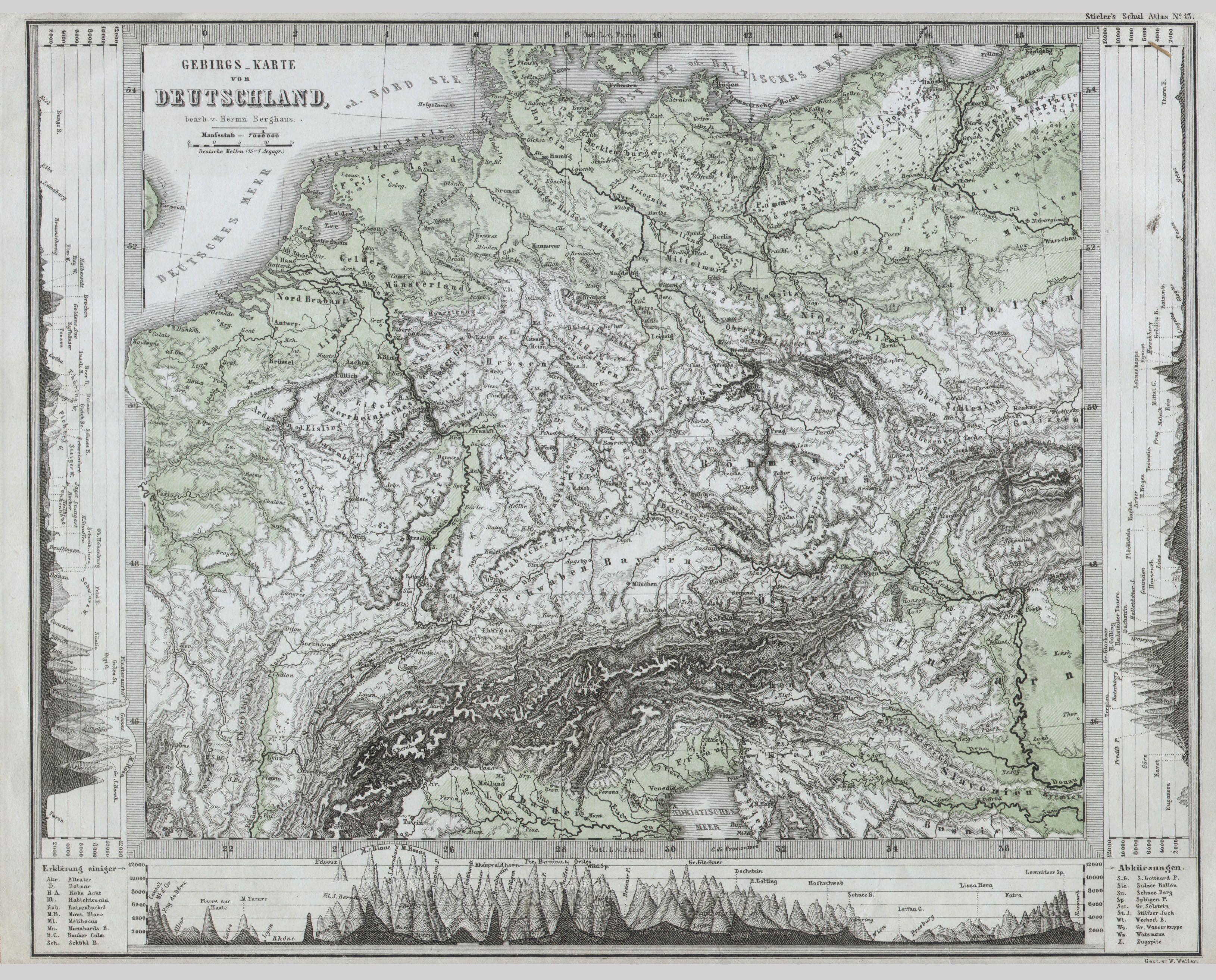
Physical Map of Central Europe or Deutschland Geographicus DeutschlandPhyperthes. This fascinating map by Justus Perthes and Stieler depicts the physical geography of central Europe or as it is called greater Deutschland from the Adriatic to the Baltic and as far west as Beligum Cities are noted but there are not political distinctions