
Related Images

Download:
| Tiny | 223x128 | View | Download |
| Small | 447x256 | View | Download |
| Medium | 895x512 | View | Download |
| Original svg | 1119x640 | View | Download |
| Original as jpg | 1119x640 | View | Download |
This image was acquired from
wikimedia. It was marked as Public Domain or CC0 and is free to use. To verify, go to the source and check the information there.
Looking for more info about this image?
Try a Google Reverse Image Search for it.
Try a Google Reverse Image Search for it.
Keywords from Image Description:
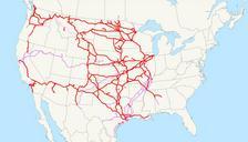
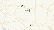
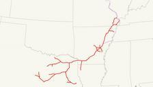
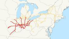
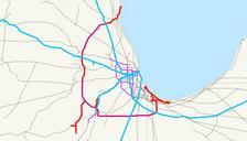
Elgin Joliet and Eastern Railway system map .svg This is map of the Elgin Joliet and Eastern Railway red as of with Canadian National Railway lines in blue preexisting CN trackage rights in purple and the proposed Gary Railway in thin green far east end of the EJ Email me if you would like copy of the GIS data created modified from