
Related Images


Download:
| Tiny | 104x128 | View | Download |
| Small | 209x256 | View | Download |
| Medium | 418x512 | View | Download |
| Original svg | 648x792 | View | Download |
| Original as jpg | 648x792 | View | Download |
This image was acquired from
wikimedia. It was marked as Public Domain or CC0 and is free to use. To verify, go to the source and check the information there.
Looking for more info about this image?
Try a Google Reverse Image Search for it.
Try a Google Reverse Image Search for it.
Keywords from Image Description:
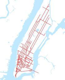
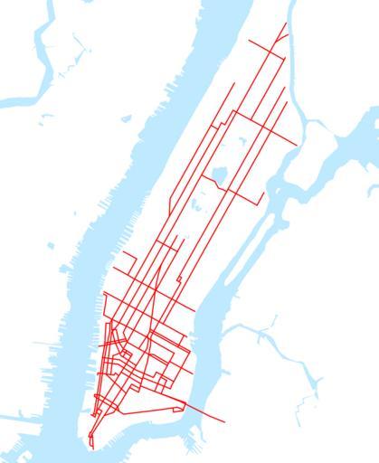
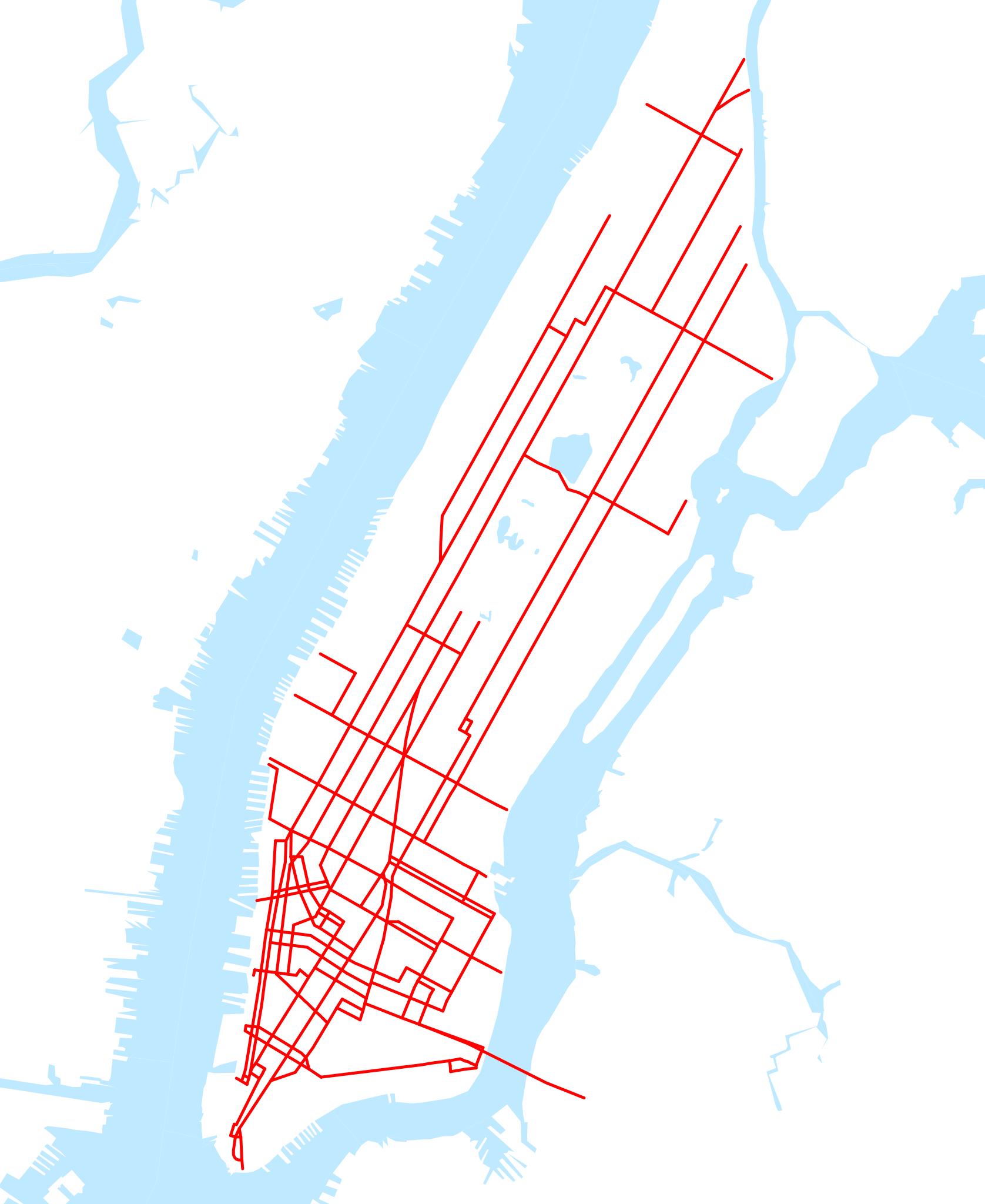
New York Railways map.svg This is map of the New York Railways system in before any lines were abandoned It was created with TIGER GIS data water and my own data streetcar lines traced on TIGER road data Maps of streetcar lines in New York City own assumed NE