
Related Images


Download:
| Tiny | 144x128 | View | Download |
| Small | 289x256 | View | Download |
| Medium | 578x512 | View | Download |
| Large | 1157x1024 | View | Download |
| Original | 1378x1219 | View | Download |
This image was acquired from
wikimedia. It was marked as Public Domain or CC0 and is free to use. To verify, go to the source and check the information there.
Looking for more info about this image?
Try a Google Reverse Image Search for it.
Try a Google Reverse Image Search for it.
Keywords from Image Description:
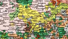
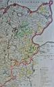
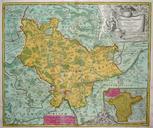
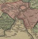
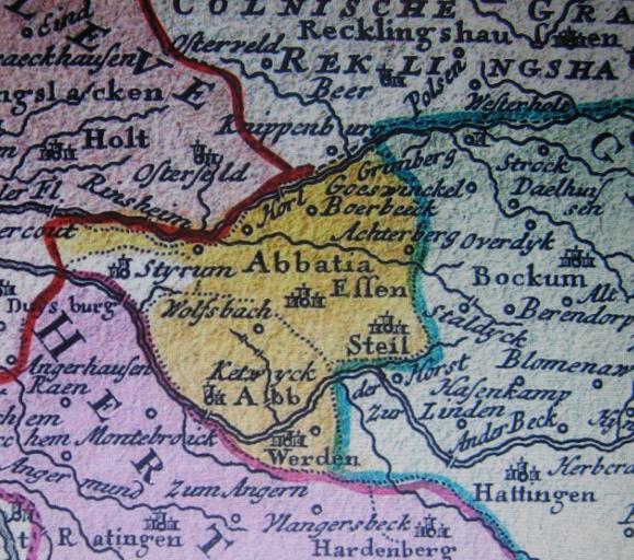
EssenWerdenStyrum . en Detail of an th century map showing the imperial abbeys of Essen and Werden and the lordship Herrschaft of Styrum Cropped from map of the Westphalian Circle published by Homann Heirs in Online Antique map seller Homann Heirs PDold Uploaded with Styrum Mlheim Old maps of Essen