
Related Images
Download:
| Tiny | 152x128 | View | Download |
| Small | 305x256 | View | Download |
| Medium | 610x512 | View | Download |
| Large | 1220x1024 | View | Download |
| Original | 1406x1180 | View | Download |
This image was acquired from
wikimedia. It was marked as Public Domain or CC0 and is free to use. To verify, go to the source and check the information there.
Looking for more info about this image?
Try a Google Reverse Image Search for it.
Try a Google Reverse Image Search for it.
Keywords from Image Description:
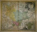
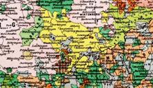
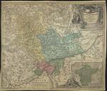
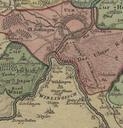
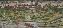
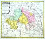
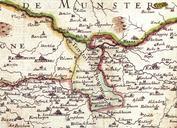
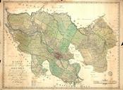
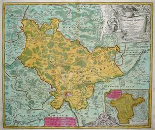
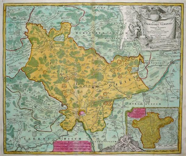
Free Imperial City of Ulm. en Map showing the territory of the Free Imperial City of Ulm It was the second largest of the Free Imperial Cities after Nuremberg Its territory of about sq kilometers included some towns villages and hamlets Geislingen to the northwest and Langenau to the southeast were the two chief cities after Ulm