Related Images


Download:
| Tiny | 320x128 | View | Download |
| Small | 641x256 | View | Download |
| Medium | 1282x512 | View | Download |
| Original | 1290x515 | View | Download |
This image was acquired from
flickr. It was marked as Public Domain or CC0 and is free to use. To verify, go to the source and check the information there.
Looking for more info about this image?
Try a Google Reverse Image Search for it.
Try a Google Reverse Image Search for it.
Keywords from Image Description:
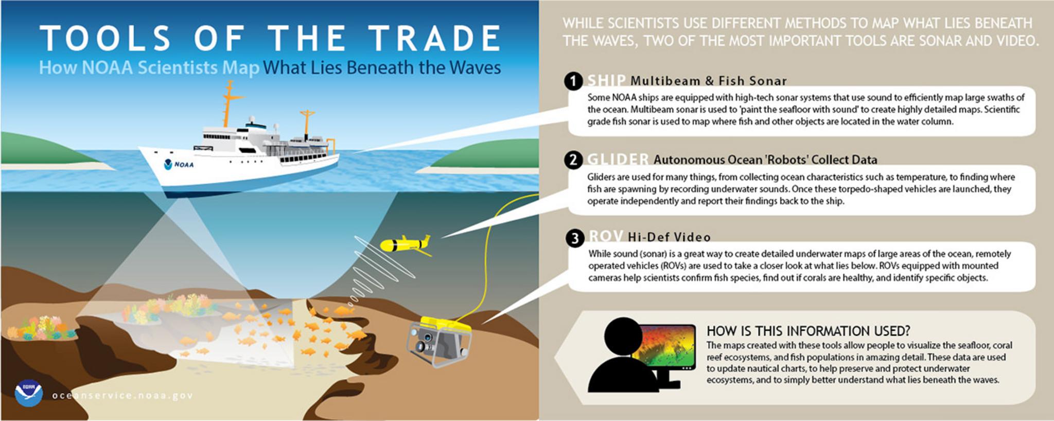
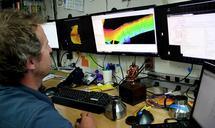
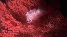
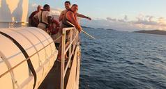
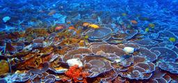
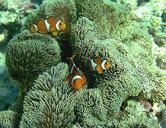
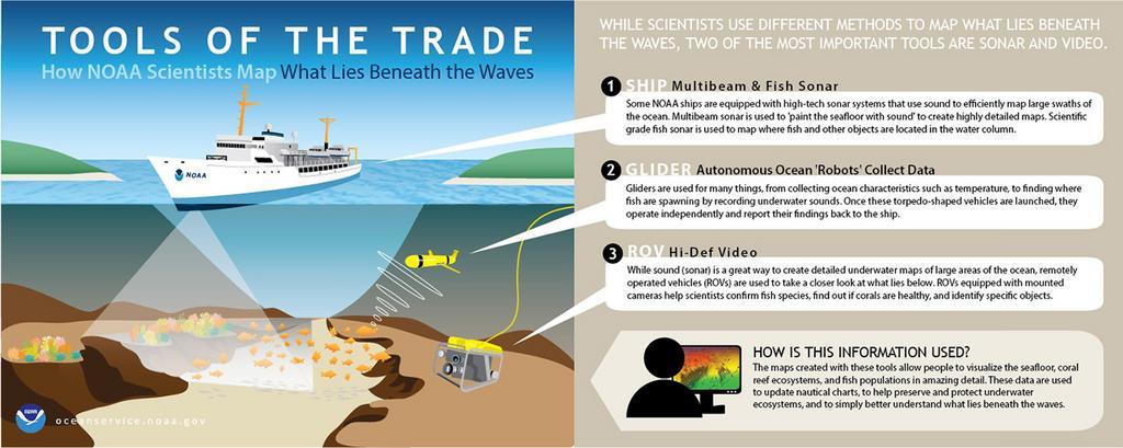
national ocean service nationaloceanservice noaa caribbean u.s. virgin islands usvirginislands ocean oceanography science coral reef coralreef corals sonar multibeam sonar multibeamsonar ocean glider oceanglider remotely operated vehicle remotelyoperatedvehicle While scientists use many different methods to map what lies beneath the