
Related Images


Download:
| Tiny | 152x128 | View | Download |
| Small | 305x256 | View | Download |
| Medium | 610x512 | View | Download |
| Original | 1024x859 | View | Download |
This image was acquired from
wikimedia. It was marked as Public Domain or CC0 and is free to use. To verify, go to the source and check the information there.
Looking for more info about this image?
Try a Google Reverse Image Search for it.
Try a Google Reverse Image Search for it.
Keywords from Image Description:
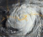
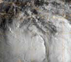
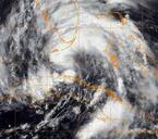
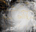
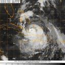
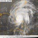
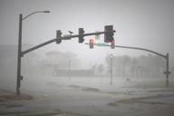
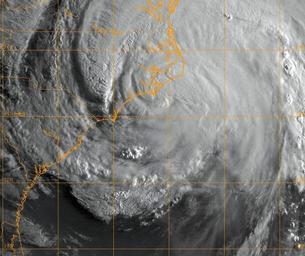
Official U.S. Navy Imagery satellite image of Hurricane Irene.. ATLANTIC OCEAN Aug GOES infrared satellite image provided by the Naval Research Laboratory Monterey Calif showing the status of Hurricane Irene at approximately EST Saturday Aug Hurricane Irene made landfall near Cape Lookout as Category hurricane with sustained