
Related Images

Download:
| Tiny | 180x128 | View | Download |
| Small | 361x256 | View | Download |
| Medium | 723x512 | View | Download |
| Large | 1447x1024 | View | Download |
| Original | 1669x1181 | View | Download |
This image was acquired from
wikimedia. It was marked as Public Domain or CC0 and is free to use. To verify, go to the source and check the information there.
Looking for more info about this image?
Try a Google Reverse Image Search for it.
Try a Google Reverse Image Search for it.
Keywords from Image Description:
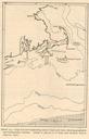
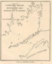
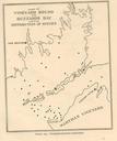
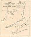
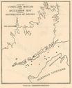
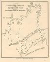
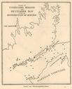
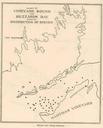
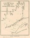
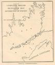
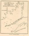
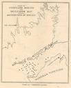
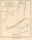
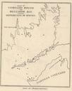
FMIB Woods Hole Harbor and Vicinity Based on Coast and Geodetic Survey chart no.jpeg check categories September Woods Hole Harbor and Vicinity Based on Coast and Geodetic Survey chart no Subject Woods Hole Harbor Massachusetts Maps Woods Hole Massachusetts Maps Geographic Subject United StatesMassachusettsWoods Hole Tag Coasts