Related Images


Download:
| Tiny | 105x128 | View | Download |
| Small | 210x256 | View | Download |
| Medium | 421x512 | View | Download |
| Large | 843x1024 | View | Download |
| Original | 4000x4857 | View | Download |
This image was acquired from
wikimedia. It was marked as Public Domain or CC0 and is free to use. To verify, go to the source and check the information there.
Looking for more info about this image?
Try a Google Reverse Image Search for it.
Try a Google Reverse Image Search for it.
Keywords from Image Description:
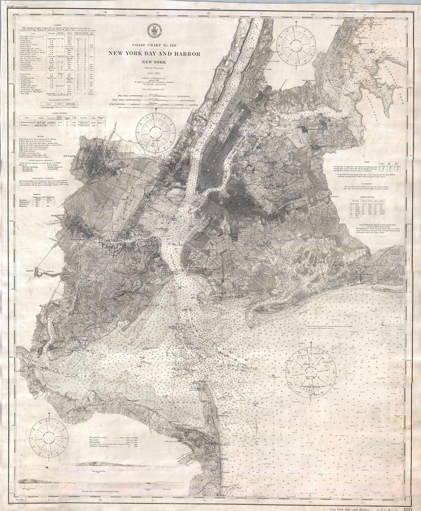
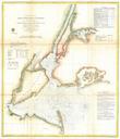
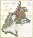
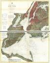
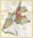
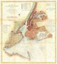
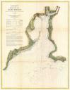
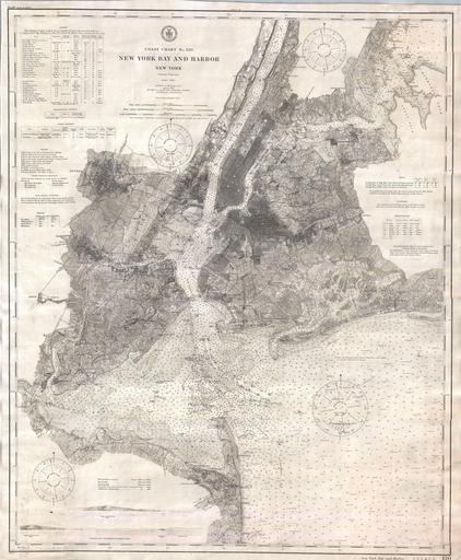
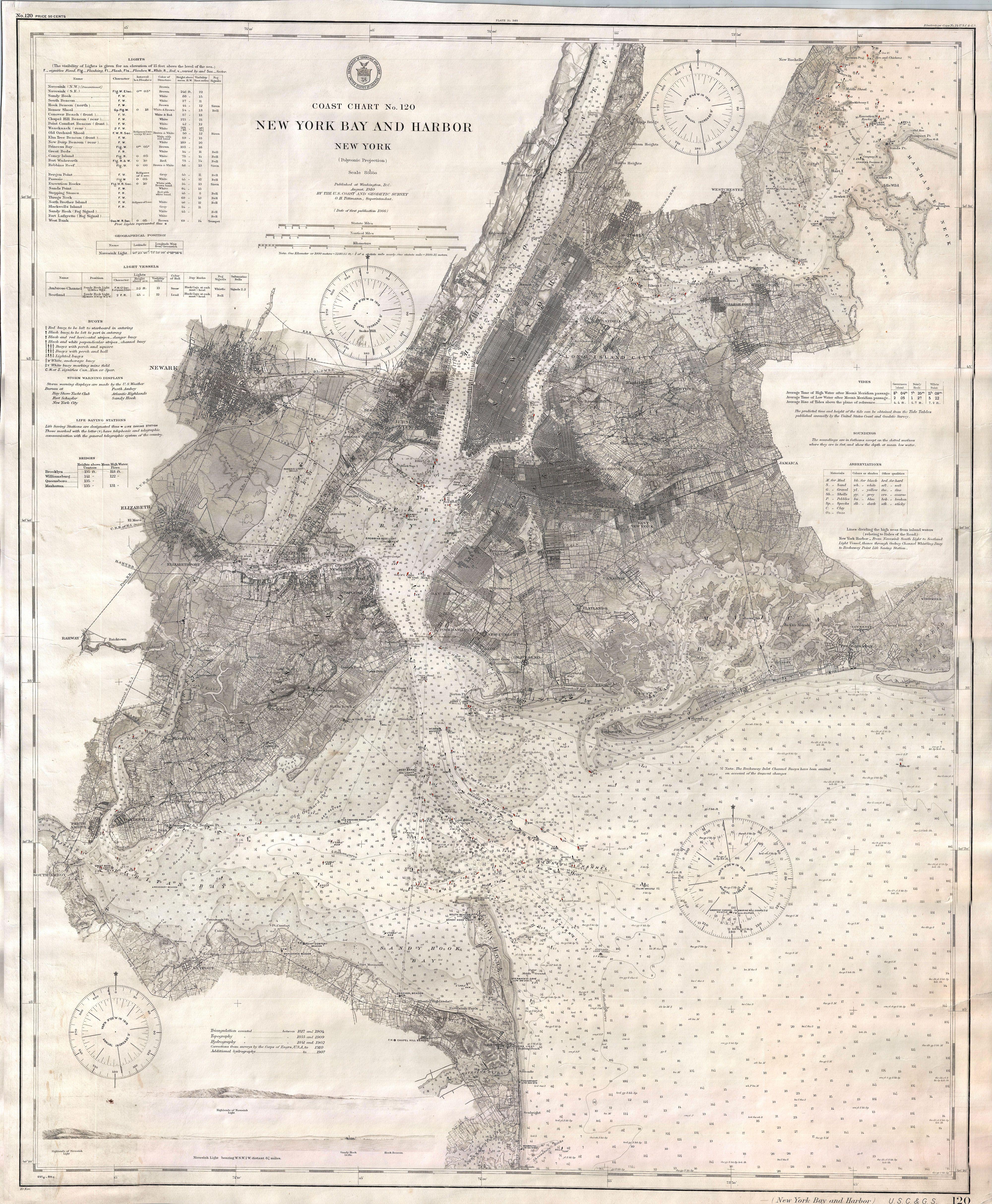
U.S. Coast Survey Nautical Chart or Map of New York City and Harbor Geographicus NewYorkCityuscs. map of New York City Harbor area as reprinted in This magnificent map is rare reissue of the Coast Survey chart of New York City its harbor and environs The chart represents the culmination of the Coast Survey work in the New