
Related Images


Download:
| Tiny | 170x128 | View | Download |
| Small | 340x256 | View | Download |
| Medium | 680x512 | View | Download |
| Large | 1360x1024 | View | Download |
| Original | 1436x1081 | View | Download |
This image was acquired from
wikimedia. It was marked as Public Domain or CC0 and is free to use. To verify, go to the source and check the information there.
Looking for more info about this image?
Try a Google Reverse Image Search for it.
Try a Google Reverse Image Search for it.
Keywords from Image Description:
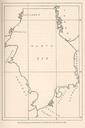
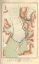
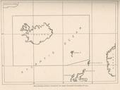
FMIB Map shoing territory covered by the AngloDenmark Convention of .jpeg Map shoing territory covered by the AngloDenmark Convention of Subject TreatiesMaps Atlantic OceanMaps IcelandMaps Fishery law and legislation Geographic Subject Atlantic Ocean Iceland Tag Coasts Cite book International Regulation of the Fisheries on the