
Related Images


Download:
| Tiny | 160x128 | View | Download |
| Small | 320x256 | View | Download |
| Medium | 640x512 | View | Download |
| Large | 1280x1024 | View | Download |
| Original | 4000x3198 | View | Download |
This image was acquired from
wikimedia. It was marked as Public Domain or CC0 and is free to use. To verify, go to the source and check the information there.
Looking for more info about this image?
Try a Google Reverse Image Search for it.
Try a Google Reverse Image Search for it.
Keywords from Image Description:
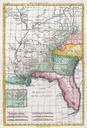
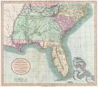
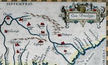
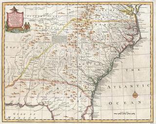
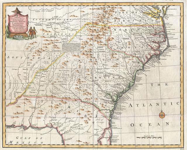
Bowen Map of the Southeastern United States Carolina Georgia Florida Geographicus CarolinaGeorgiabowen. This is Emmanuel Bowen's remarkable chart of the southeastern parts of North America Covers from the mouth of the Chesapeake Bay to St Augustine FL and from Louisiana to the Atlantic Introduced in the second edition of Bowen's