
Related Images


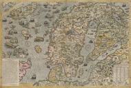
This image was acquired from
wikimedia. It was marked as Public Domain or CC0 and is free to use. To verify, go to the source and check the information there.
Looking for more info about this image?
Try a Google Reverse Image Search for it.
Try a Google Reverse Image Search for it.
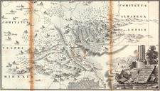
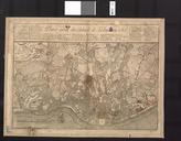
Keywords from Image Description:
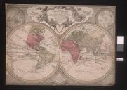
Foldrengesterkep . en The first earthquake map of the world Mr earthquke Hungary es mri fldrengst brzolja afoldgomb hu Kitaibel Pl Tomcsnyi dm PDold Earthquake maps maps Pl Kitaibel in Hungary Mr thcentury maps of Hungary