
Related Images


Download:
| Tiny | 237x128 | View | Download |
| Small | 474x256 | View | Download |
| Medium | 949x512 | View | Download |
| Original | 1363x735 | View | Download |
This image was acquired from
wikimedia. It was marked as Public Domain or CC0 and is free to use. To verify, go to the source and check the information there.
Looking for more info about this image?
Try a Google Reverse Image Search for it.
Try a Google Reverse Image Search for it.
Keywords from Image Description:
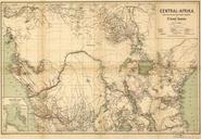
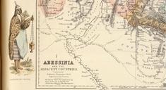
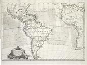
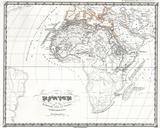
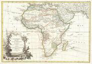
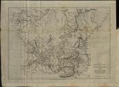
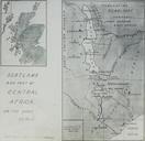
Fullartona Map of Central Africa. en Vignette from Fullarton map Abessinia and the Adjacent Countries from the atlas Royal Illustrated Atlas of Modern Geography published in Edinburgh davidrumsey PubListNo LIMIT RUMSEY sort PubDate PubListNoInitialSort Augustus Heinrich Petermann George Heriot Swanston August Heinrich Petermann