
Related Images


Download:
| Tiny | 144x128 | View | Download |
| Small | 288x256 | View | Download |
| Medium | 576x512 | View | Download |
| Large | 1153x1024 | View | Download |
| Original | 4883x4336 | View | Download |
This image was acquired from
wikimedia. It was marked as Public Domain or CC0 and is free to use. To verify, go to the source and check the information there.
Looking for more info about this image?
Try a Google Reverse Image Search for it.
Try a Google Reverse Image Search for it.
Keywords from Image Description:
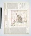
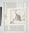
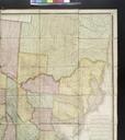
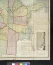
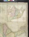
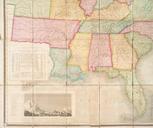
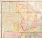
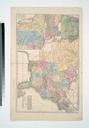
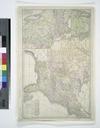
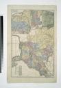
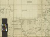
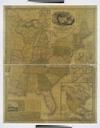
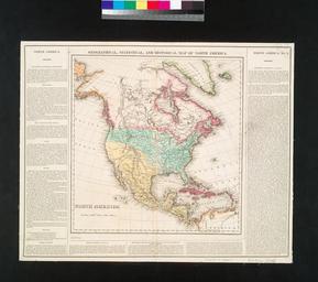
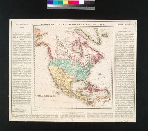
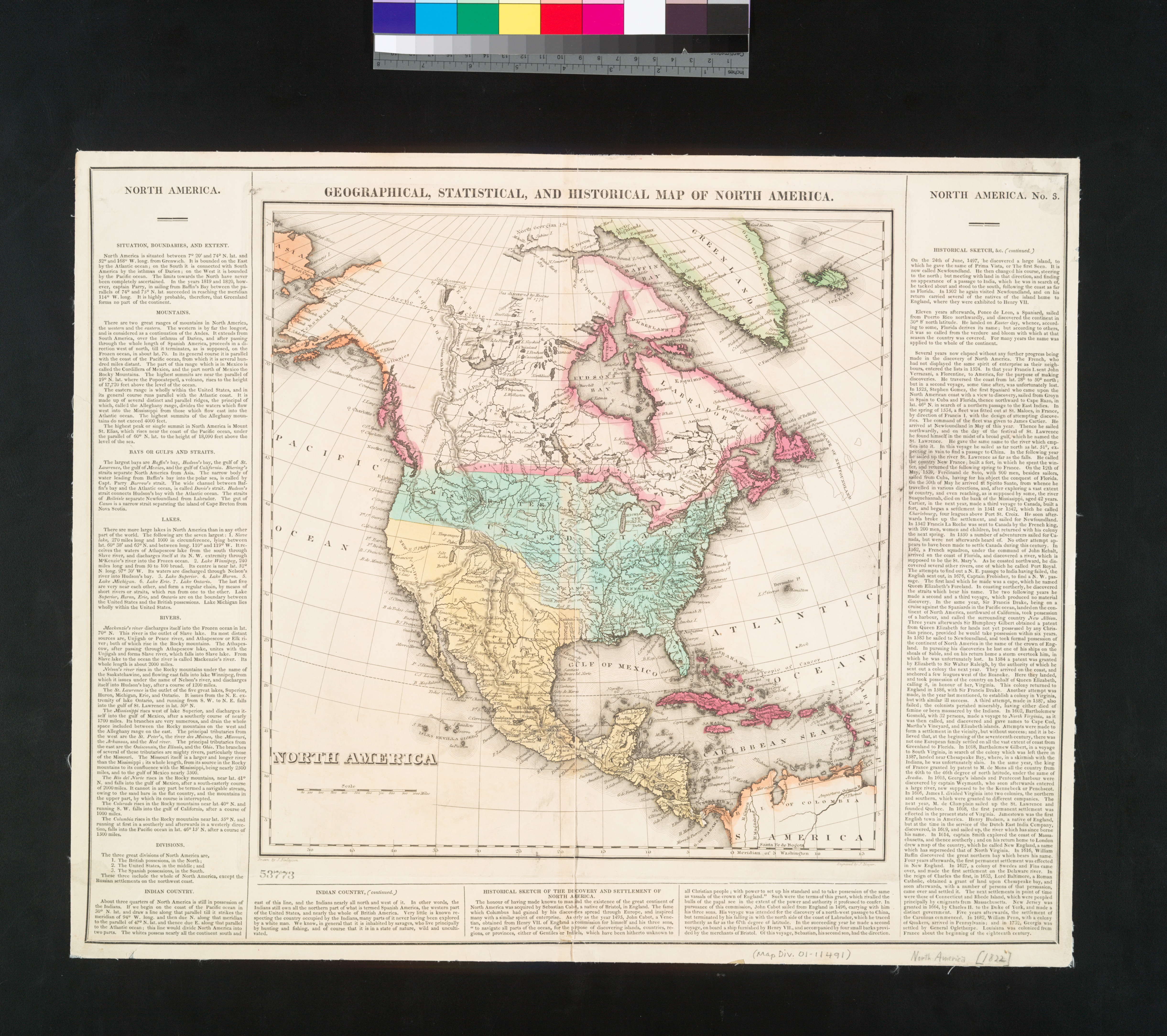
Geographical statistical and historical map of North America NYPL b. en From Carey's Complete historical chronological and geographical American atlas Map has border text National Endowment for the Humanities Grant for Access to Early Maps of the Middle Atlantic Seaboard Relief shown by hachures Heading West HW nypl org Scan by