Related Images


Download:
| Tiny | 142x128 | View | Download |
| Small | 285x256 | View | Download |
| Medium | 570x512 | View | Download |
| Original png | 998x896 | View | Download |
| Original as jpg | 998x896 | View | Download |
This image was acquired from
wikimedia. It was marked as Public Domain or CC0 and is free to use. To verify, go to the source and check the information there.
Looking for more info about this image?
Try a Google Reverse Image Search for it.
Try a Google Reverse Image Search for it.
Keywords from Image Description:
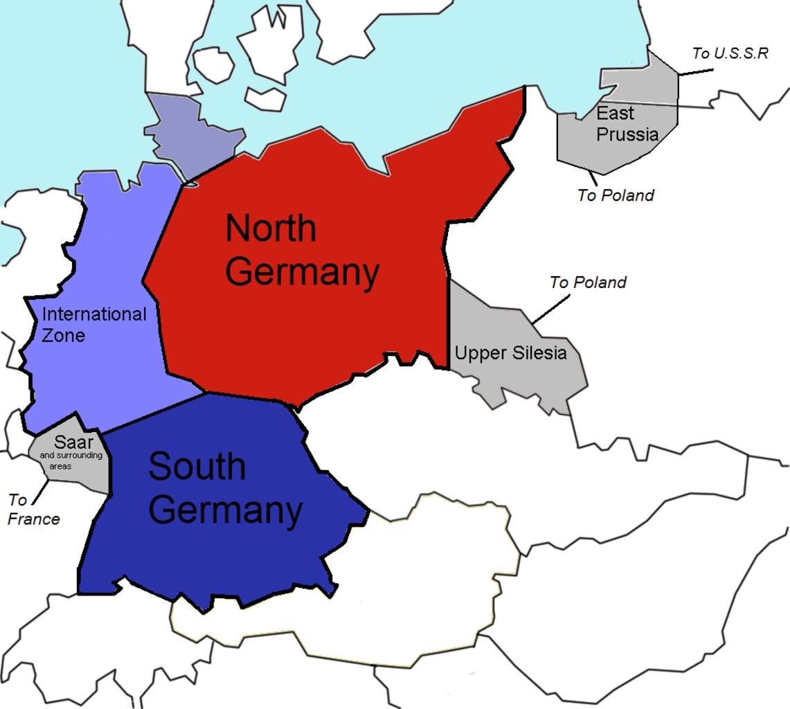
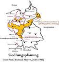
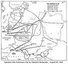
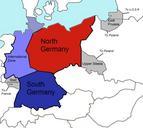
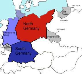
Germany Morgenthau Plan. proposed entity map The Morgenthau Plan showing the planned partitioning of Germany into North State South State and an International zone Areas in grey are areas intended for annexation by France Poland and the Today Russia The background template used for this image was the following fre image File GermanyMorgenthau


