Related Images


Download:
| Tiny | 148x128 | View | Download |
| Small | 297x256 | View | Download |
| Medium | 595x512 | View | Download |
| Large | 1191x1024 | View | Download |
| Original | 2174x1868 | View | Download |
This image was acquired from
wikimedia. It was marked as Public Domain or CC0 and is free to use. To verify, go to the source and check the information there.
Looking for more info about this image?
Try a Google Reverse Image Search for it.
Try a Google Reverse Image Search for it.
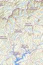
Keywords from Image Description:
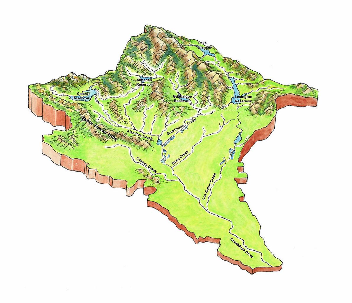
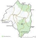
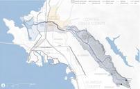
Guadalupe River Watershed Topo Map. en From the Guadalupe River Watershed Mercury TMDL Project modified from USGS Topo Map Guadalupe River Watershed Mercury TMDL Project TetraTech Modified from USGS Topo Map PDUSGov Uploaded with Santa Clara County California Rivers of California