Related Images


Download:
| Tiny | 221x128 | View | Download |
| Small | 442x256 | View | Download |
| Medium | 884x512 | View | Download |
| Large | 1769x1024 | View | Download |
| Original png | 1780x1030 | View | Download |
| Original as jpg | 1780x1030 | View | Download |
This image was acquired from
wikimedia. It was marked as Public Domain or CC0 and is free to use. To verify, go to the source and check the information there.
Looking for more info about this image?
Try a Google Reverse Image Search for it.
Try a Google Reverse Image Search for it.
Keywords from Image Description:
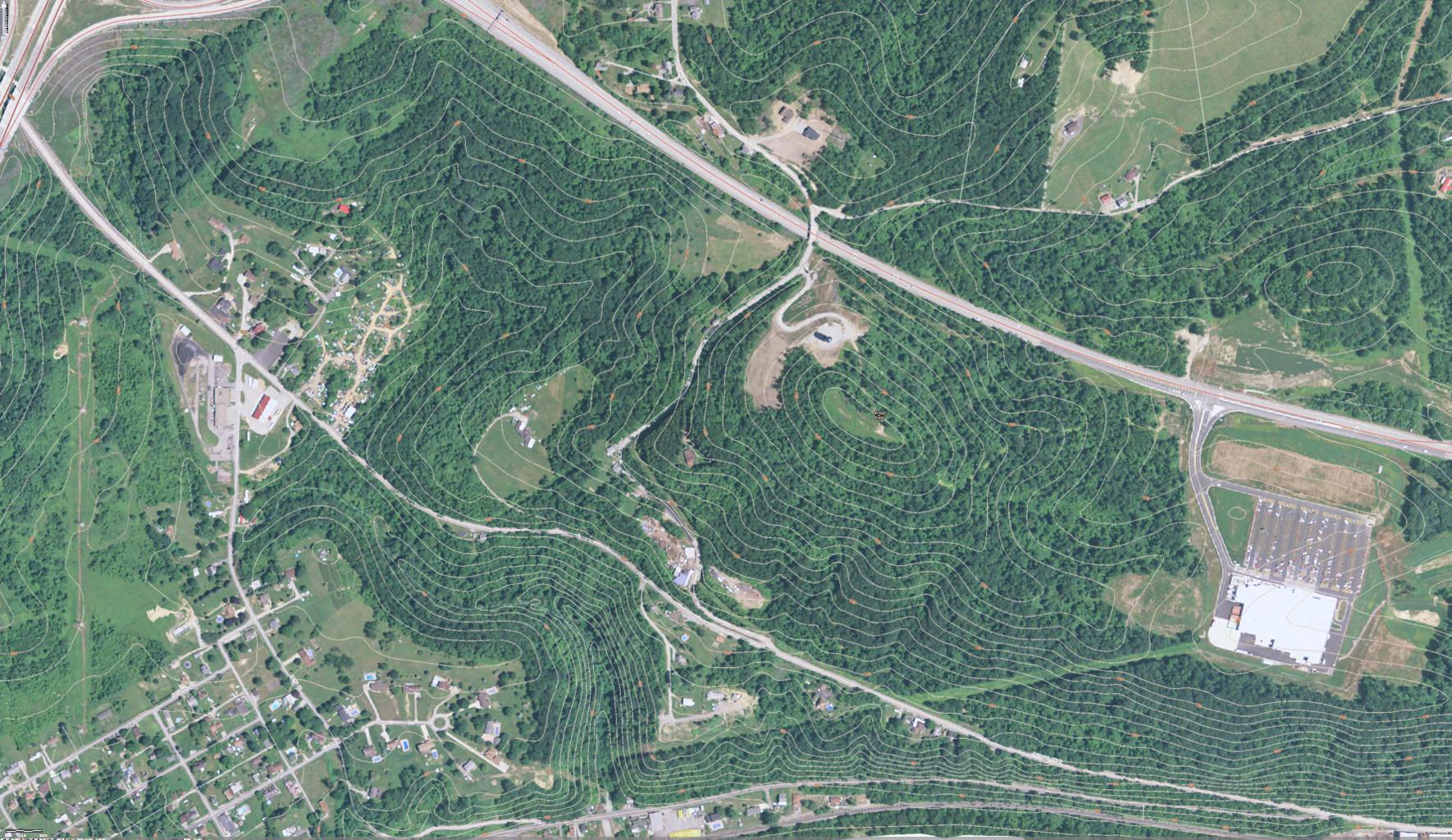
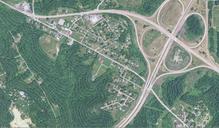
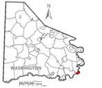
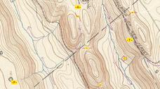
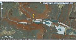
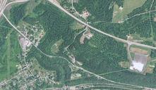
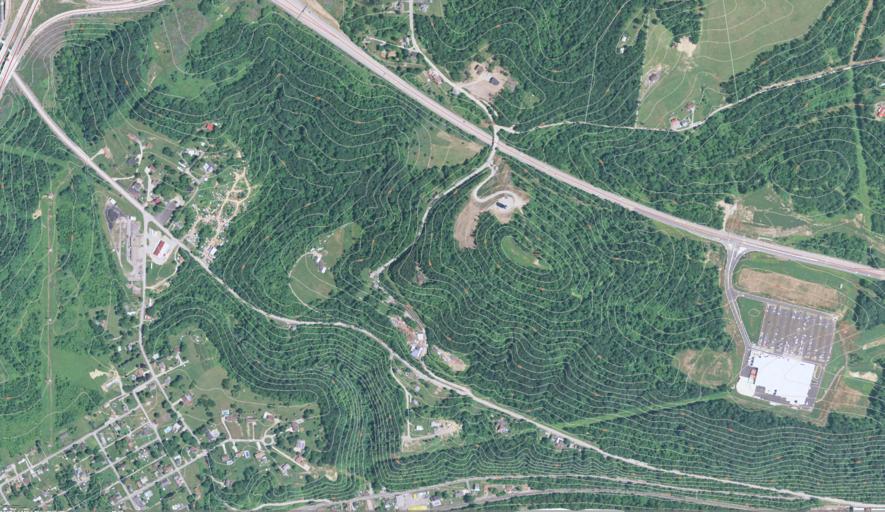
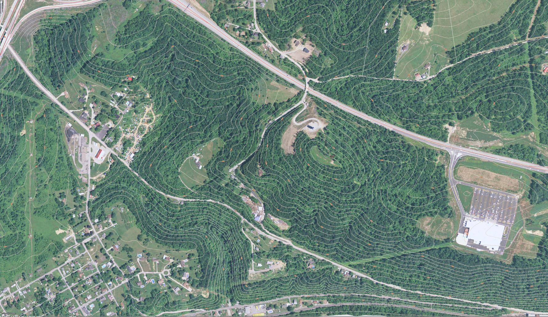
USGS topo MapCenterville Borough below Malden Denbo Heights to West Brownsville Washington County Pennsylvania with PA US Old National Road. West Brownsville PA and Malden Pennsylvania to demonstrate terrain and road network changes with respect to the National Road since it was initially paved br bullR This map details the relative