
Related Images


This image was acquired from
wikimedia. It was marked as Public Domain or CC0 and is free to use. To verify, go to the source and check the information there.
Looking for more info about this image?
Try a Google Reverse Image Search for it.
Try a Google Reverse Image Search for it.
Keywords from Image Description:
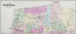
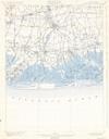
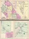
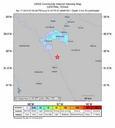
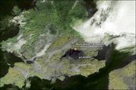
Hemel Hempstead fuel explosion map. Satellitenaufnahme von Sdengland die die schwarze Rauchwolke der Explosion bei London zeigt Satellite image of Hemel Hempstead fuel explosion showing vapor cloud PDUSGovDOCNOAA PDUSGov Hertfordshire Oil Storage Terminal fire Satellite pictures of the United Kingdom Clouds in Hertfordshire