
Related Images


Download:
| Tiny | 99x128 | View | Download |
| Small | 198x256 | View | Download |
| Medium | 397x512 | View | Download |
| Large | 795x1024 | View | Download |
| Original | 3000x3862 | View | Download |
This image was acquired from
wikimedia. It was marked as Public Domain or CC0 and is free to use. To verify, go to the source and check the information there.
Looking for more info about this image?
Try a Google Reverse Image Search for it.
Try a Google Reverse Image Search for it.
Keywords from Image Description:
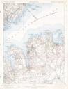
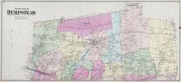
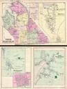
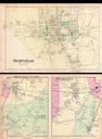
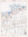
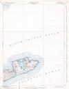
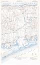
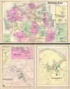
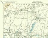
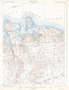
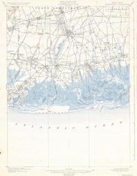
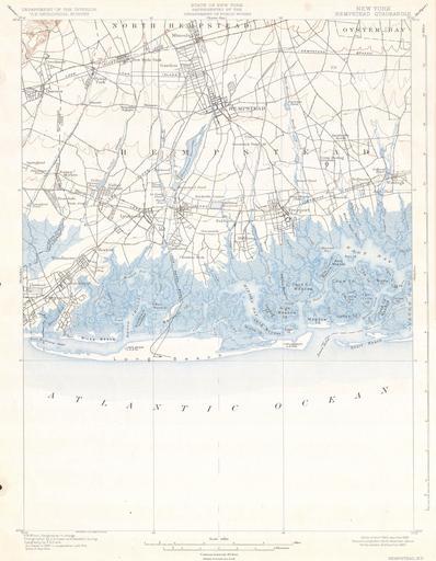
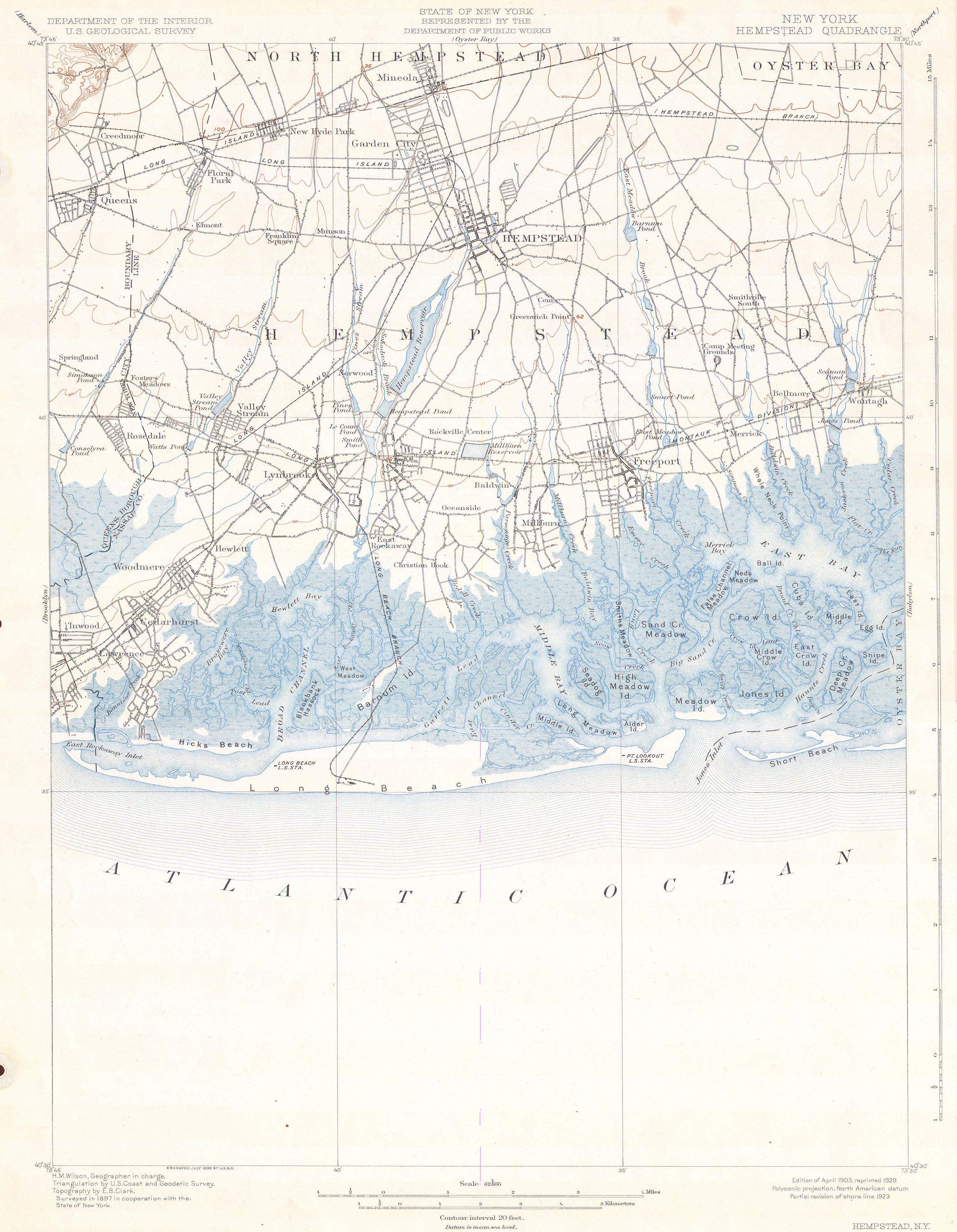
U.S.G.S. Map of Hempstead Long Beach Long Island New York Geographicus Hempsteaduscs. This beautiful and fascinating topographical chart depicts the Long Island New York region of Hempstead including Freeport Hempstead and Long Beach Includes some submarine details Highly detailed with important buildings and trains and rail lines