Related Images


Download:
| Tiny | 87x128 | View | Download |
| Small | 175x256 | View | Download |
| Medium | 350x512 | View | Download |
| Large | 701x1024 | View | Download |
| Original png | 847x1236 | View | Download |
| Original as jpg | 847x1236 | View | Download |
This image was acquired from
wikimedia. It was marked as Public Domain or CC0 and is free to use. To verify, go to the source and check the information there.
Looking for more info about this image?
Try a Google Reverse Image Search for it.
Try a Google Reverse Image Search for it.
Keywords from Image Description:
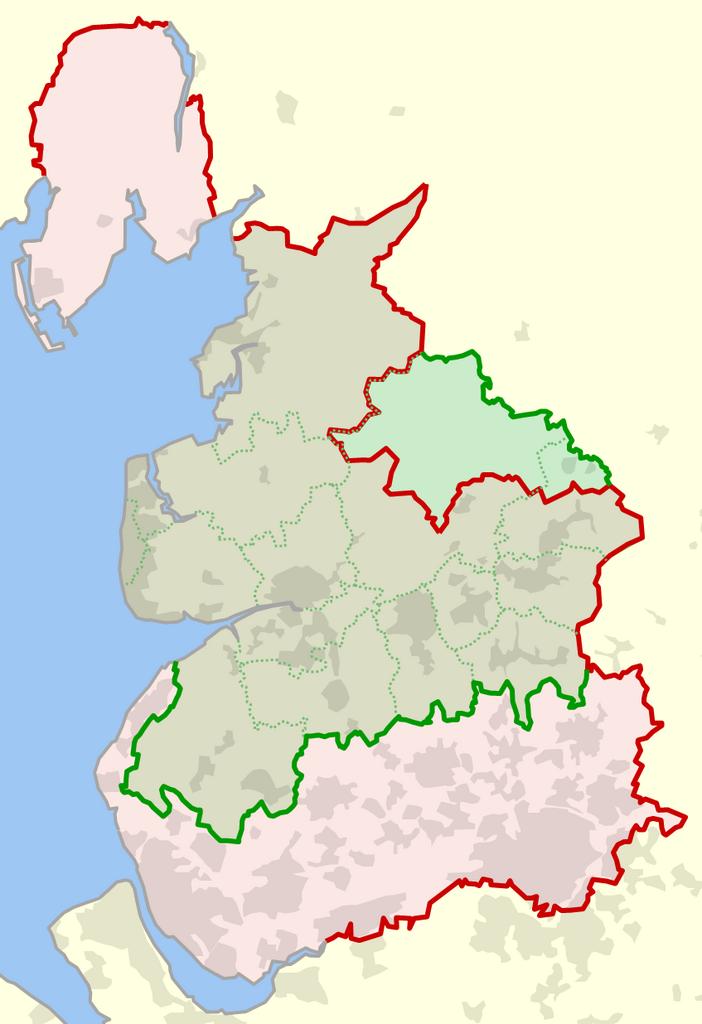
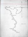
Historical and current boundaries of Lancashire. Lancashire England shown in red and the modernday boundary since shown in green Also shown in dotted green are the modernday local government districts and unitary authorities of ceremonial Lancashire own Dr Greg References lancashire gov uk Combined index shewing civil parishes