
Related Images


Download:
| Tiny | 134x128 | View | Download |
| Small | 269x256 | View | Download |
| Medium | 538x512 | View | Download |
| Original | 1024x974 | View | Download |
This image was acquired from
wikimedia. It was marked as Public Domain or CC0 and is free to use. To verify, go to the source and check the information there.
Looking for more info about this image?
Try a Google Reverse Image Search for it.
Try a Google Reverse Image Search for it.
Keywords from Image Description:
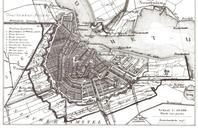
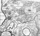
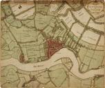
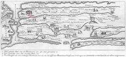
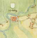
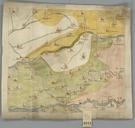
Historische kaart Vijfheerenlanden eeuw. Kaart van de Vijfheerenlanden en de aangrenzende landen uit de de eeuw Deze kaart is onderdeel van de Verzameling Binnenlandse Kaarten Hingman Deze collectie is door het Provinciaal Historisch Centrum ZuidHolland gedigitaliseerd ten behoeve van de website geschiedenisvanzuidholland nl www