Related Images


Download:
| Tiny | 192x128 | View | Download |
| Small | 385x256 | View | Download |
| Medium | 770x512 | View | Download |
| Original | 1276x848 | View | Download |
This image was acquired from
wikimedia. It was marked as Public Domain or CC0 and is free to use. To verify, go to the source and check the information there.
Looking for more info about this image?
Try a Google Reverse Image Search for it.
Try a Google Reverse Image Search for it.
Keywords from Image Description:
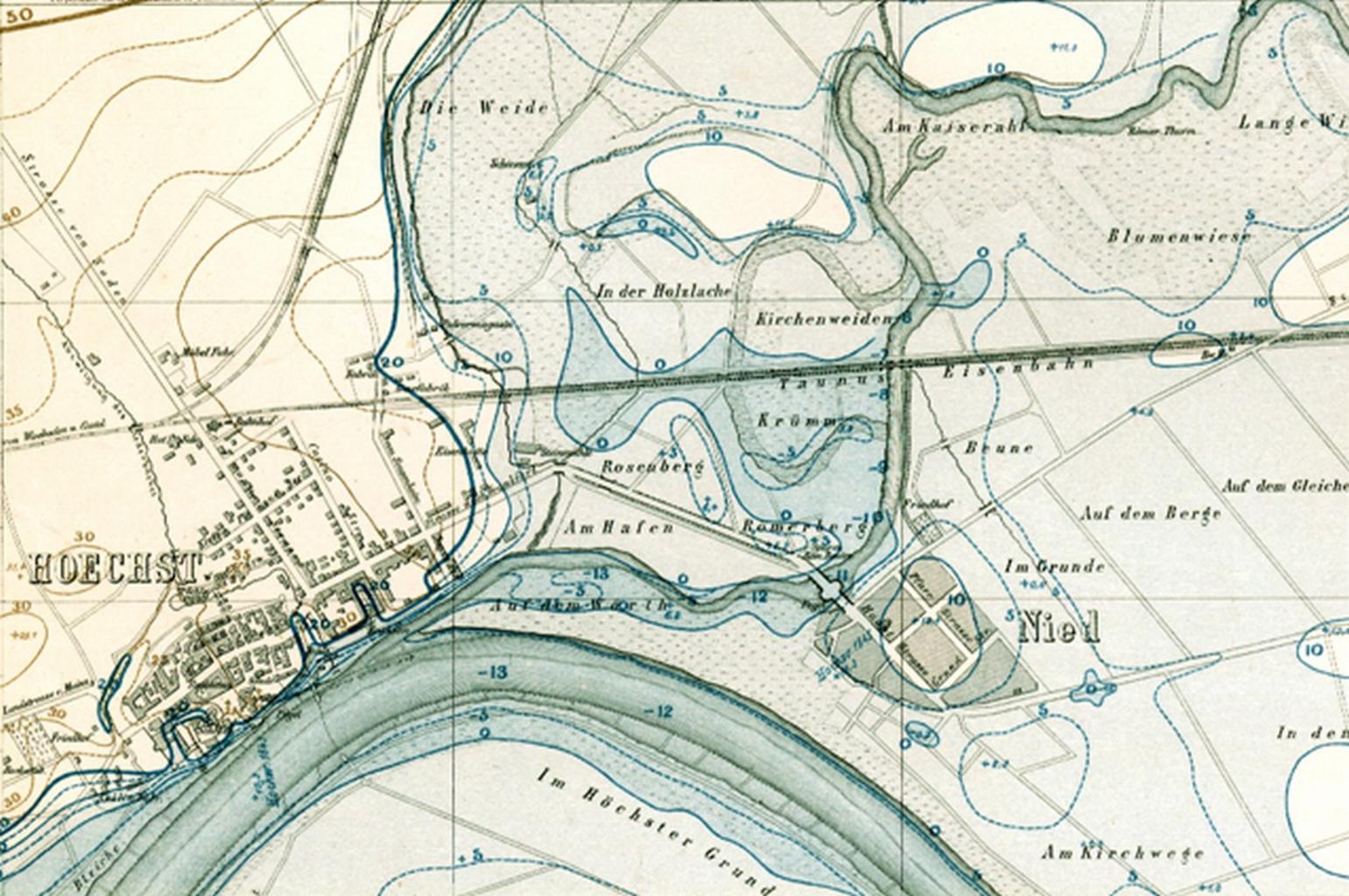
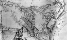
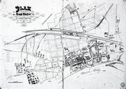
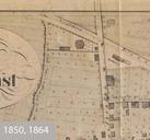
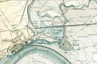
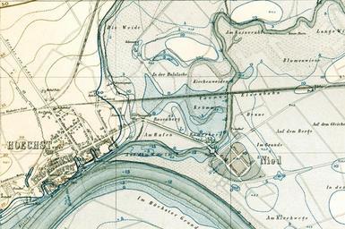
Hoechst Nied Plan . Hchst und Nied Ausschnitt aus einem Hochwasserkataster des Jahres Institut fr Stadtgeschichte Frankfurt am Main Preuische Landesaufnahme PDArt Other versions of this file PDArt FrankfurtNied Maps of Frankfurt am Main showing thcentury history Maps of FrankfurtHchst Images of Frankfurt am Main from Institut