Related Images


Download:
| Tiny | 215x128 | View | Download |
| Small | 431x256 | View | Download |
| Medium | 863x512 | View | Download |
| Large | 1727x1024 | View | Download |
| Original | 3000x1778 | View | Download |
This image was acquired from
wikimedia. It was marked as Public Domain or CC0 and is free to use. To verify, go to the source and check the information there.
Looking for more info about this image?
Try a Google Reverse Image Search for it.
Try a Google Reverse Image Search for it.
Keywords from Image Description:
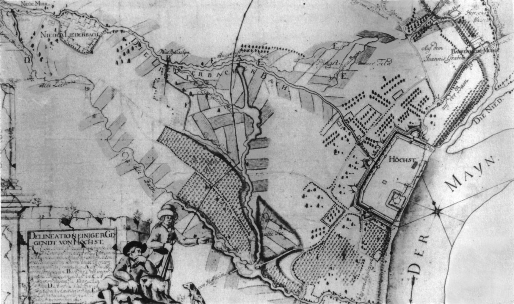
Hoechst Unterliederbach Plan . Delineation einiger Gegendt von Hchst Karte der Wasserlufe und berschwemmungsgebiete zwischen Hchst und Unterliederbach im Jahr Source Hessisches Staatsarchiv Wiesbaden Nr Author Schmidt Date Permission PDArt Other versions of this file unknown FrankfurtUnterliederbach Maps of Frankfurt am Main