Related Images

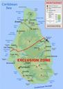

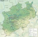
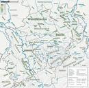
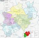
Download:
| Tiny | 110x128 | View | Download |
| Small | 220x256 | View | Download |
| Medium | 440x512 | View | Download |
| Original svg | 714x830 | View | Download |
| Original as jpg | 714x830 | View | Download |
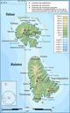
This image was acquired from
wikimedia. It was marked as Public Domain or CC0 and is free to use. To verify, go to the source and check the information there.
Looking for more info about this image?
Try a Google Reverse Image Search for it.
Try a Google Reverse Image Search for it.
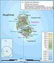
Keywords from Image Description:
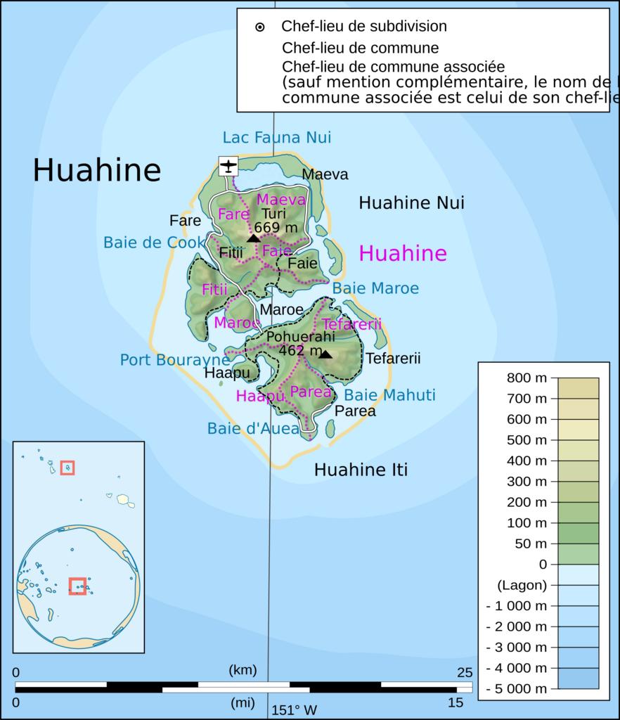
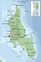
Huahine topographic map with communes associes.svg Huahine Society Islands French Polynesia Huahine les de la Socit Polynsie Franaise uvre personnelle clr Donnes Carte de base jpl nasa gov NASA Shuttle Radar Topography Mission SRTM domaine public Cartes de localisation globe fait partir de la carte Polynesiatriangle modifie