
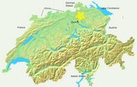
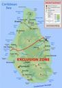
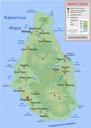
Related Images


Download:
| Tiny | 128x128 | View | Download |
| Small | 256x256 | View | Download |
| Medium | 512x512 | View | Download |
| Large | 1024x1024 | View | Download |
| Original svg | 1600x1600 | View | Download |
| Original as jpg | 1600x1600 | View | Download |
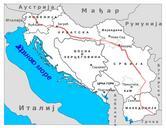
This image was acquired from
wikimedia. It was marked as Public Domain or CC0 and is free to use. To verify, go to the source and check the information there.
Looking for more info about this image?
Try a Google Reverse Image Search for it.
Try a Google Reverse Image Search for it.
Keywords from Image Description:
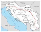
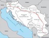
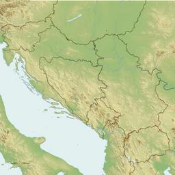
Yugoslavia topographic base map.svg Yugoslavia Data from SRTM and SWBD public domain NASA data processed with GRASS GIS Modern national boundaries from VMAP Projection Lambert Conformal Conic with Lat Lat Lat Lon Coastlines and borders are vectorised SVG layers relief colouring and shading is an embedded bitmap own Future Perfect