Download:
| Tiny | 172x128 | View | Download |
| Small | 344x256 | View | Download |
| Medium | 688x512 | View | Download |
| Large | 1376x1024 | View | Download |
| Original | 9876x7346 | View | Download |
This image was acquired from
wikimedia. It was marked as Public Domain or CC0 and is free to use. To verify, go to the source and check the information there.
Looking for more info about this image?
Try a Google Reverse Image Search for it.
Try a Google Reverse Image Search for it.
Keywords from Image Description:
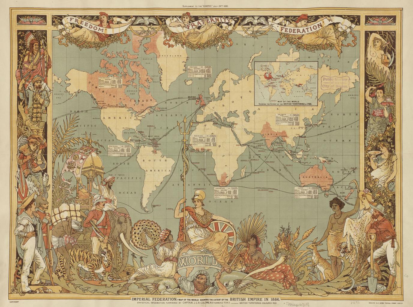
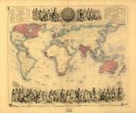
Imperial Federation Map of the World Showing the Extent of the British Empire in . LargeImage map of the world in areas under British control are highlighted in red bpl org Creator Walter Crane PDold File Imperial Federation Map of the World Showing the Extent of the British Empire in levelled MB leveled version File British
