
Related Images


Download:
| Tiny | 200x128 | View | Download |
| Small | 401x256 | View | Download |
| Medium | 803x512 | View | Download |
| Large | 1607x1024 | View | Download |
| Original | 6155x3920 | View | Download |
This image was acquired from
wikimedia. It was marked as Public Domain or CC0 and is free to use. To verify, go to the source and check the information there.
Looking for more info about this image?
Try a Google Reverse Image Search for it.
Try a Google Reverse Image Search for it.
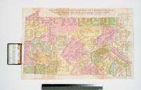
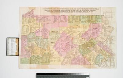
Keywords from Image Description:
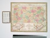
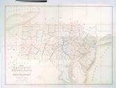
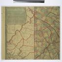
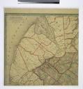
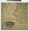
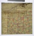
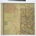
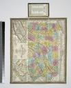
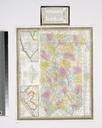
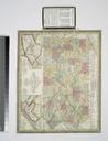
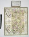
Industrial political map of Pennsylvania exhibiting the population the principal resources of each county and the valuation of property the several Congressional districts and the NYPL b. en Compiled from the returns of the sixth census and from other official sources Entered according to the Act of Congress in the year by Edward