Related Images
Download:
| Tiny | 109x128 | View | Download |
| Small | 218x256 | View | Download |
| Medium | 436x512 | View | Download |
| Large | 873x1024 | View | Download |
| Original | 1000x1172 | View | Download |
This image was acquired from
wikimedia. It was marked as Public Domain or CC0 and is free to use. To verify, go to the source and check the information there.
Looking for more info about this image?
Try a Google Reverse Image Search for it.
Try a Google Reverse Image Search for it.
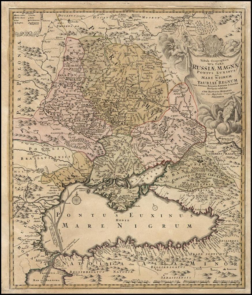
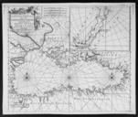
Keywords from Image Description:
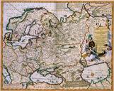
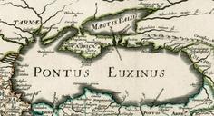
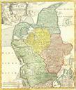
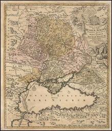
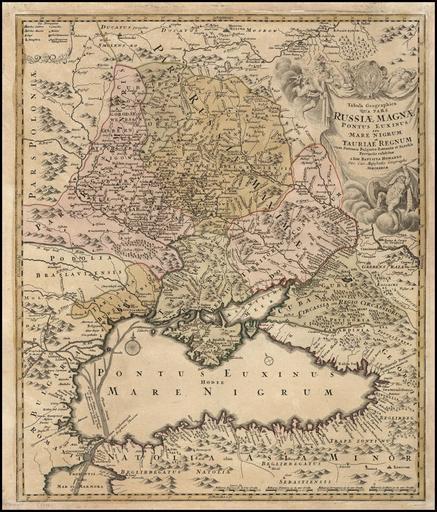
Johann Baptist Homann. Tabula Geographica qua pars Russiae Magnae Pontus Euxinus seu mare Nigrum. Nuremberg . Artwork Creator Johann Baptist Homann cm Made in Nuremberg accession number object history credit line landsofukraina www landsofukraina PDArt Old maps of the Black Sea Johann Baptist Homann maps Maps in Latin Old maps