Download:
| Tiny | 174x128 | View | Download |
| Small | 349x256 | View | Download |
| Medium | 698x512 | View | Download |
| Original | 1079x791 | View | Download |
This image was acquired from
wikimedia. It was marked as Public Domain or CC0 and is free to use. To verify, go to the source and check the information there.
Looking for more info about this image?
Try a Google Reverse Image Search for it.
Try a Google Reverse Image Search for it.
Keywords from Image Description:
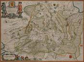
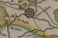
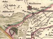
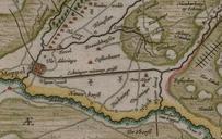
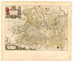
Kaart van Drenthe Cornelis Pijnacker Vlagtwedde. en Map of Drenthe province of the Netherlands nl Kaart van Drenthe Drenthe Drentia Comitatus Transiselaniae Tabula II Cornelio Pynacker Cornelio Pynacker PDold Maps of Vlagtwedde Old maps of Westerwolde Cornelis Pijnacker Maps made in the th century Atlas van Loon


