Related Images


Download:
| Tiny | 159x128 | View | Download |
| Small | 318x256 | View | Download |
| Medium | 637x512 | View | Download |
| Large | 1275x1024 | View | Download |
| Original | 4416x3544 | View | Download |
This image was acquired from
wikimedia. It was marked as Public Domain or CC0 and is free to use. To verify, go to the source and check the information there.
Looking for more info about this image?
Try a Google Reverse Image Search for it.
Try a Google Reverse Image Search for it.
Keywords from Image Description:
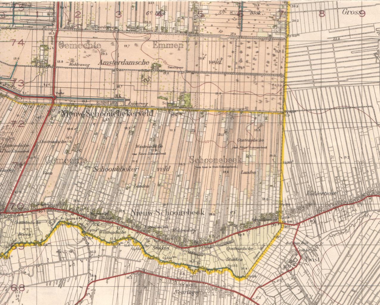
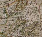
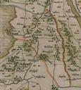
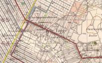
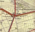
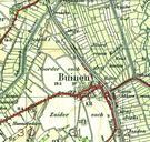
Uiterste zuidoosthoek van Drenthe op topografische kaart van . en Topographical map of the most southeast part of the province of Drenthe in The Netherlands in Since it is more than years old it is public domain nl Topografische kaart van het uiterste zuidoosten van de Nederlandse provincie Drenthe Auteursrechten voorbehouden aan