
Related Images


Download:
| Tiny | 84x128 | View | Download |
| Small | 169x256 | View | Download |
| Medium | 339x512 | View | Download |
| Large | 679x1024 | View | Download |
| Original | 1062x1601 | View | Download |
This image was acquired from
wikimedia. It was marked as Public Domain or CC0 and is free to use. To verify, go to the source and check the information there.
Looking for more info about this image?
Try a Google Reverse Image Search for it.
Try a Google Reverse Image Search for it.
Keywords from Image Description:
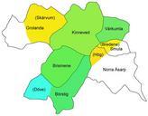
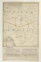
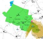
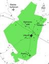
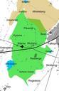
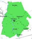
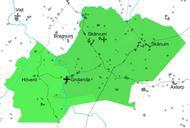
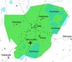
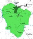
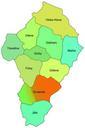
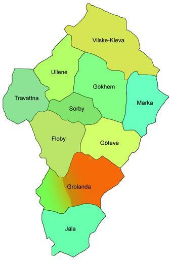
Karta socknar Vilske hrad. en Map of the parishes in Vilske hundred Vstergtland Sweden Vilske hundred is nowaday part of the municipality of Falkping The eastern part of grolanda parish was earlier part of Frkind hundred and thus marked reddish sv Karta ver socknarna Vilske hrad Vstergtland Sverige Vilske hrad ligger numer helt inom