
Related Images


Download:
| Tiny | 209x128 | View | Download |
| Small | 419x256 | View | Download |
| Medium | 839x512 | View | Download |
| Large | 1679x1024 | View | Download |
| Original | 2042x1245 | View | Download |
This image was acquired from
wikimedia. It was marked as Public Domain or CC0 and is free to use. To verify, go to the source and check the information there.
Looking for more info about this image?
Try a Google Reverse Image Search for it.
Try a Google Reverse Image Search for it.
Keywords from Image Description:
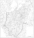
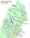
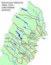
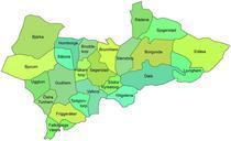
Karta socknar Gudhems hrad. en Map over the parishes in the Gudhem hundred Vstergtland Sweden Gudhems hrad Vstergtland Sverige Gudhems hrad ligger till strre delen nuvarande Falkpings kommun men Bjrka socken nordvst ligger Skara kommun och socknarna Rdene Sjogerstad Edsa och Ljunghem nordost ligger Skvde kommun Under ren hrde socknarna