Related Images


Download:
| Tiny | 71x128 | View | Download |
| Small | 143x256 | View | Download |
| Medium | 286x512 | View | Download |
| Large | 572x1024 | View | Download |
| Original | 661x1183 | View | Download |
This image was acquired from
wikimedia. It was marked as Public Domain or CC0 and is free to use. To verify, go to the source and check the information there.
Looking for more info about this image?
Try a Google Reverse Image Search for it.
Try a Google Reverse Image Search for it.
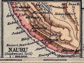
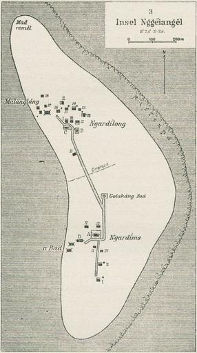
Keywords from Image Description:
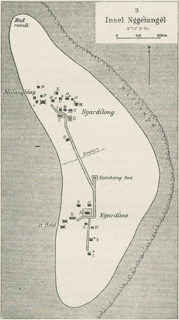
Kayangel old map. en map of Kayangel Islet largest islet Kayangel Atoll in the north of Palau Islands Micronesia Pacific Ocean Ergebnissen der SdseeExpedition Band Palau Augustin Krmer Teilband Abteilung III Siedelungen Bezirke Drfer Verfassung Abteilung IV Demographie Anthropologie Sprache Friederichsen Hamburg sub unihamburg