This image was acquired from
wikimedia. It was marked as Public Domain or CC0 and is free to use. To verify, go to the source and check the information there.
Looking for more info about this image?
Try a Google Reverse Image Search for it.
Try a Google Reverse Image Search for it.
Keywords from Image Description:
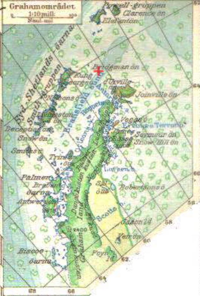
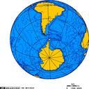
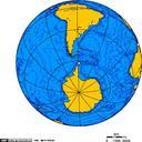
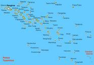
King George island. Map of northern Antarctis with sinking site of MS Explorer marked Nordisk Vrldsatlas of uploaded november Nordisk Vrldsatlas frlag Stockholm PDold Old maps of Antarctica Explorer ship Maps of Antarctica Maps of the South Shetland Islands
