
Related Images

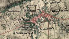
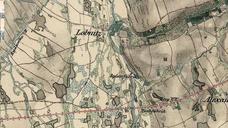
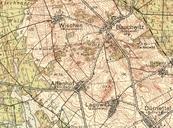

Download:
| Tiny | 165x128 | View | Download |
| Small | 331x256 | View | Download |
| Medium | 663x512 | View | Download |
| Original png | 704x543 | View | Download |
| Original as jpg | 704x543 | View | Download |
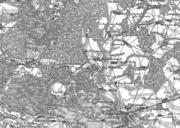
This image was acquired from
wikimedia. It was marked as Public Domain or CC0 and is free to use. To verify, go to the source and check the information there.
Looking for more info about this image?
Try a Google Reverse Image Search for it.
Try a Google Reverse Image Search for it.
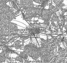
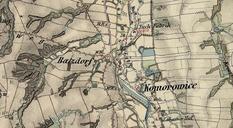
Keywords from Image Description:
Kisielin okolice mapa topograficzna . Kisielin okolice mapa topograficzna rd Mil Mapping Sur of AustriaHungary Meierhof GFDL re PDart original upload log pl Pjahr CommonsHelper page pl TuminKisielin Dymek bytes no rdo rd Mil Mapping Sur of AustriaHungary Meierhof Warunki udostpnienia Inne wersje GFDL Dymek bytes