
Related Images


Download:
| Tiny | 192x128 | View | Download |
| Small | 385x256 | View | Download |
| Original png | 550x365 | View | Download |
| Original as jpg | 550x365 | View | Download |
This image was acquired from
wikimedia. It was marked as Public Domain or CC0 and is free to use. To verify, go to the source and check the information there.
Looking for more info about this image?
Try a Google Reverse Image Search for it.
Try a Google Reverse Image Search for it.
Keywords from Image Description:
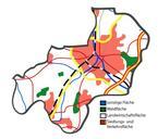
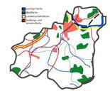
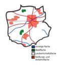
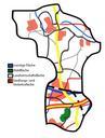
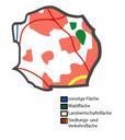
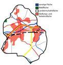
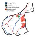
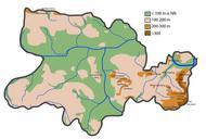
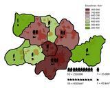
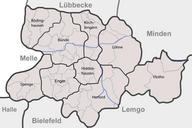
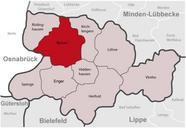
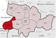
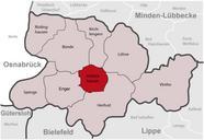
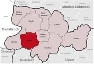
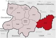
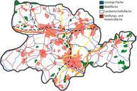
KreisHerfordNutzung. Kreis Herford Flchennutzung Maps of the district of Herford Germany series Shows various kinds of information including topographical demographical and use of land information for all communities of Kreis Herford and the district of Herford itstelf Based on Google Earth and Geoserver NRW br original text July