
Related Images


Download:
| Tiny | 123x128 | View | Download |
| Small | 246x256 | View | Download |
| Medium | 492x512 | View | Download |
| Original png | 536x557 | View | Download |
| Original as jpg | 536x557 | View | Download |
This image was acquired from
wikimedia. It was marked as Public Domain or CC0 and is free to use. To verify, go to the source and check the information there.
Looking for more info about this image?
Try a Google Reverse Image Search for it.
Try a Google Reverse Image Search for it.
Keywords from Image Description:
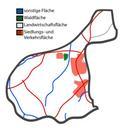
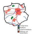
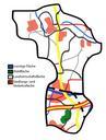
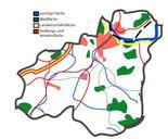
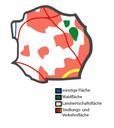
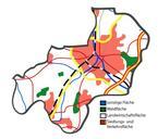
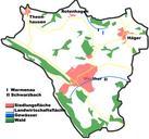
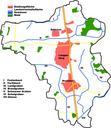
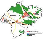
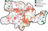
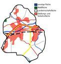
LhneNutzung. Map of land use in Lhne Kreis Herford Based on Google Earth and Geoserver NRW br original text July Me myself and de Benutzer TUBS Use it and improve it Adobe Illustator vector graphics available original upload log de TUBS CommonsHelper page de BhneNutzung TUBS bytes no Andere Versionen TUBS bytes no