
Related Images

Download:
| Tiny | 194x128 | View | Download |
| Small | 389x256 | View | Download |
| Original png | 708x465 | View | Download |
| Original as jpg | 708x465 | View | Download |
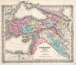
This image was acquired from
wikimedia. It was marked as Public Domain or CC0 and is free to use. To verify, go to the source and check the information there.
Looking for more info about this image?
Try a Google Reverse Image Search for it.
Try a Google Reverse Image Search for it.
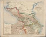
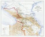
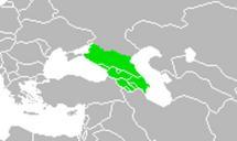
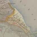
Keywords from Image Description:
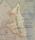
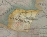
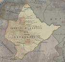
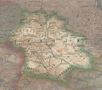
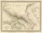
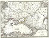
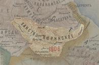
Kurinskoe khanstvo in the Map of Caucasus with the borders . en Kurinskoe khanstvo in the Map of Caucasus with the borders xnpai PDold Old maps of Khanates of the South Caucasus Maps of the history of the Caucasus under Russian rule maps Old maps of Viceroyalty of the Caucasus