Related Images

Download:
| Tiny | 161x128 | View | Download |
| Small | 323x256 | View | Download |
| Medium | 647x512 | View | Download |
| Large | 1294x1024 | View | Download |
| Original | 3500x2769 | View | Download |
This image was acquired from
wikimedia. It was marked as Public Domain or CC0 and is free to use. To verify, go to the source and check the information there.
Looking for more info about this image?
Try a Google Reverse Image Search for it.
Try a Google Reverse Image Search for it.
Keywords from Image Description:
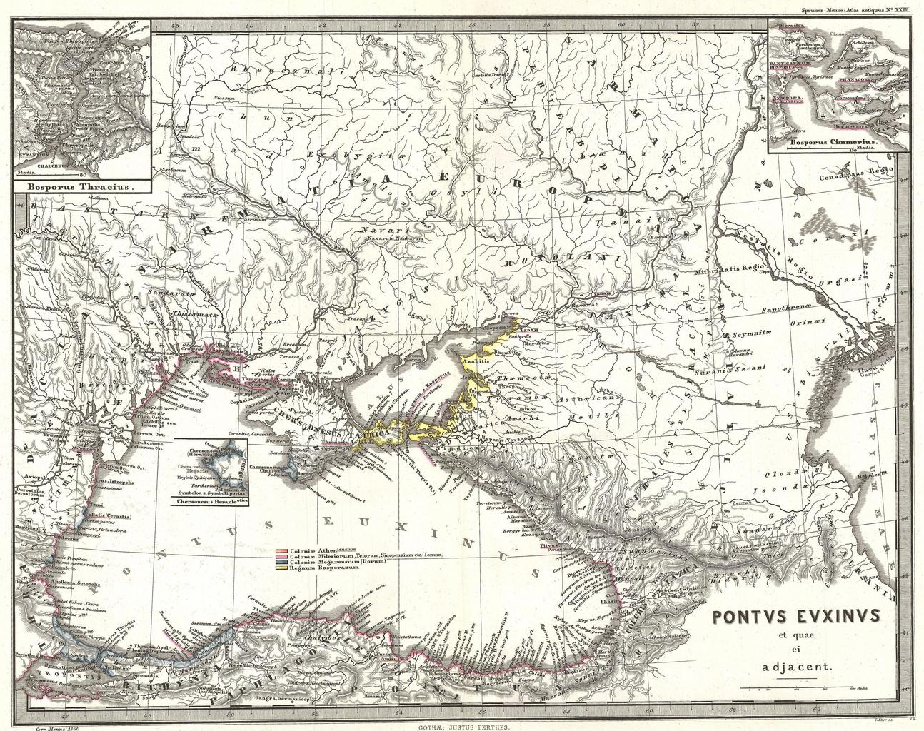
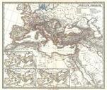
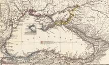
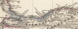
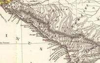
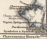
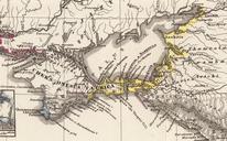
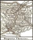
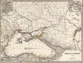
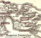
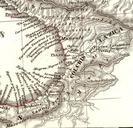
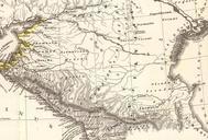
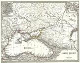
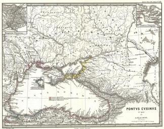
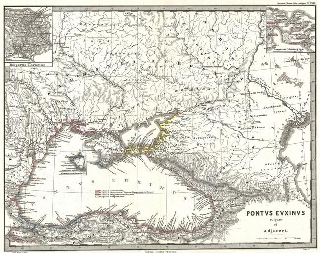
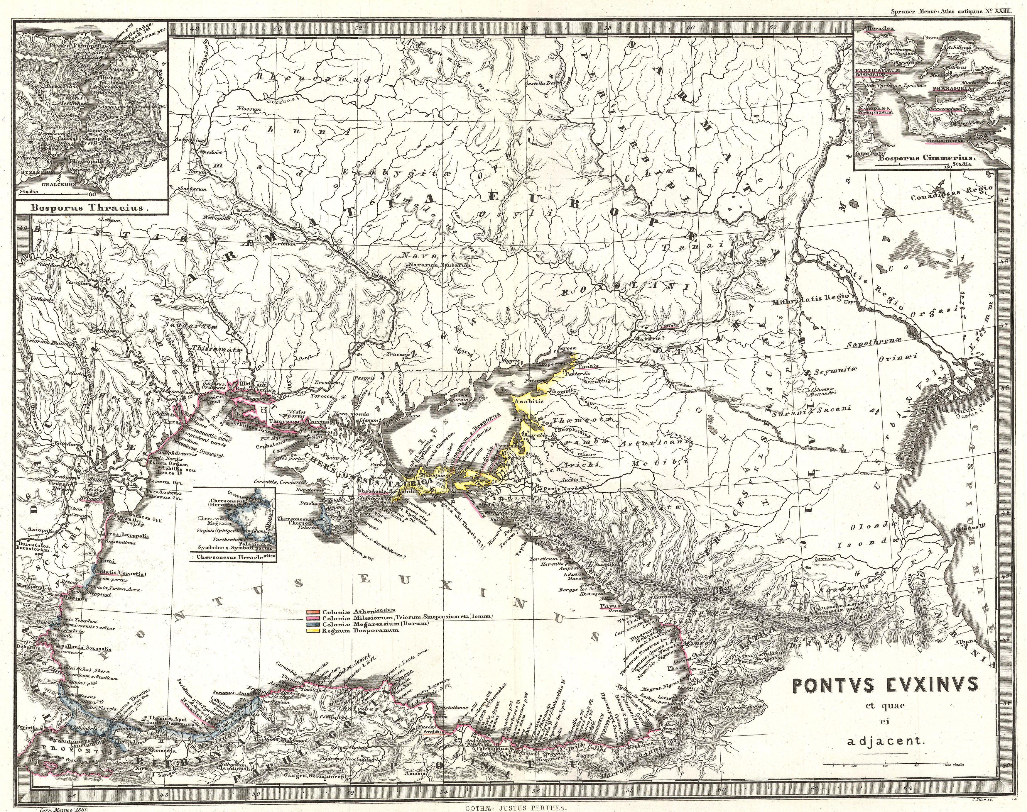
Spruner Map of the Black Sea and Adjacent Regions Geographicus PontusEuxinusspruner. This is Karl von Spruner map of the Black Sea and adjacent regions Pontus Euxinus et quae ei Adjacent This detailed map focuses on the Black Sea and the area immediately surrounding it including what is modern day Ukraine the southernmost portion