
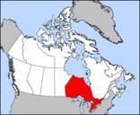
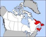
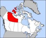
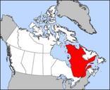
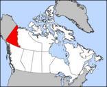
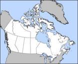
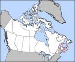
Related Images


Download:
| Tiny | 128x128 | View | Download |
| Small | 256x256 | View | Download |
| Medium | 512x512 | View | Download |
| Large | 1024x1024 | View | Download |
| Original | 2048x2047 | View | Download |
This image was acquired from
wikimedia. It was marked as Public Domain or CC0 and is free to use. To verify, go to the source and check the information there.
Looking for more info about this image?
Try a Google Reverse Image Search for it.
Try a Google Reverse Image Search for it.
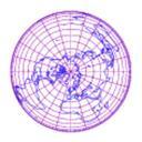
Keywords from Image Description:
Lambertazimuthalequalarea. en Lambert azimuthal equal area projection of Visible Earth image collected by the Earth Observatory experiment of the Government's NASA space agency The reticle is degrees in latitude and longitude own assumed Mdf Maps of the world with Lambert azimuthal projection Blue Marble Next Generation images