
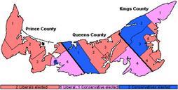
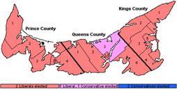
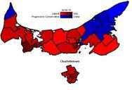
Related Images


Download:
| Tiny | 155x128 | View | Download |
| Original png | 280x230 | View | Download |
| Original as jpg | 280x230 | View | Download |
This image was acquired from
wikimedia. It was marked as Public Domain or CC0 and is free to use. To verify, go to the source and check the information there.
Looking for more info about this image?
Try a Google Reverse Image Search for it.
Try a Google Reverse Image Search for it.
Keywords from Image Description:
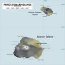
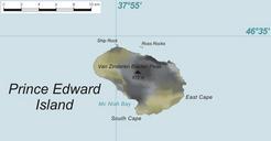
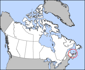
Prince Edward Islandmap. Map of Prince Edward Island Projection Lambert azimuthal equalarea Geospatial data from gc ca The Atlas of Canada nationalatlas gov The National Atlas of the United States and usgs gov Geological Survey Cartographer John Fowler Maps of Prince Edward Island Locator maps of islands of Canada