
Related Images


Download:
| Tiny | 170x128 | View | Download |
| Small | 341x256 | View | Download |
| Medium | 682x512 | View | Download |
| Large | 1365x1024 | View | Download |
| Original | 1600x1200 | View | Download |
This image was acquired from
wikimedia. It was marked as Public Domain or CC0 and is free to use. To verify, go to the source and check the information there.
Looking for more info about this image?
Try a Google Reverse Image Search for it.
Try a Google Reverse Image Search for it.
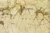
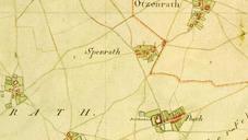
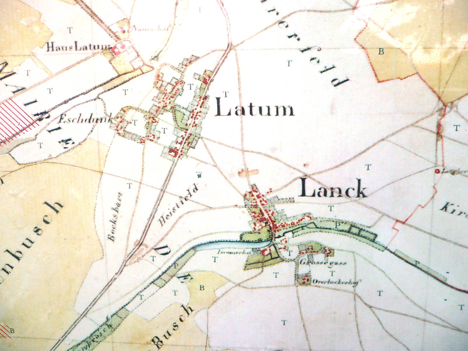
Keywords from Image Description:
LankLatum Tranchot map. Kartenaufnahme der Rheinlande durch Tranchot und von Mffling hier Detail de LankLatum Tetris abfotografiert von einer Informationstafel beim Haus Gripswald PDold LankLatum History of Meerbusch Maps of Meerbusch Tranchot Maps Snippets