
Related Images

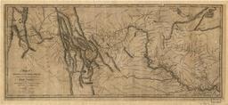


Download:
| Tiny | 114x128 | View | Download |
| Small | 229x256 | View | Download |
| Medium | 459x512 | View | Download |
| Large | 919x1024 | View | Download |
| Original | 1667x1856 | View | Download |
This image was acquired from
wikimedia. It was marked as Public Domain or CC0 and is free to use. To verify, go to the source and check the information there.
Looking for more info about this image?
Try a Google Reverse Image Search for it.
Try a Google Reverse Image Search for it.
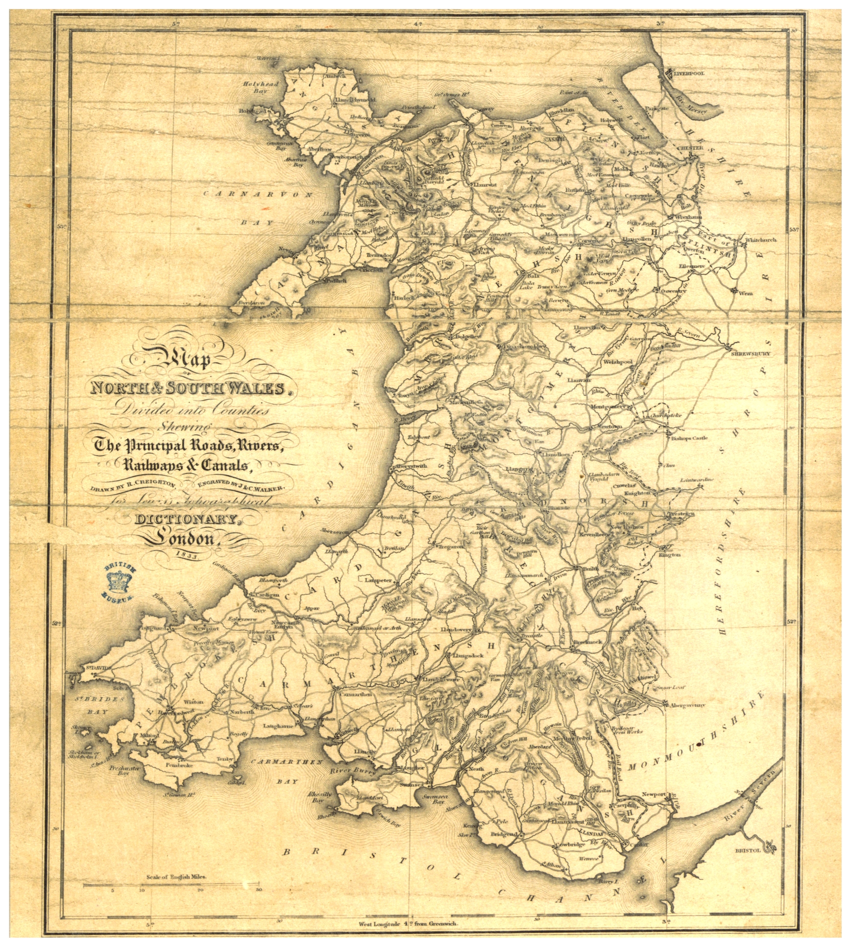
Keywords from Image Description:
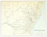
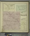
LEWIS p. MAP OF NORTH AND SOUTH WALES. object history credit line accession number British Library HMNTS Image extracted from page of volume of Topographical Dictionary of Wales with an appendix describing the electoral boundaries of the several boroughs by LEWIS Samuel the Elder Original held and digitised by the British Library