Related Images


Download:
| Tiny | 171x128 | View | Download |
| Small | 342x256 | View | Download |
| Original gif | 465x348 | View | Download |
| Original as jpg | 465x348 | View | Download |
This image was acquired from
wikimedia. It was marked as Public Domain or CC0 and is free to use. To verify, go to the source and check the information there.
Looking for more info about this image?
Try a Google Reverse Image Search for it.
Try a Google Reverse Image Search for it.
Keywords from Image Description:
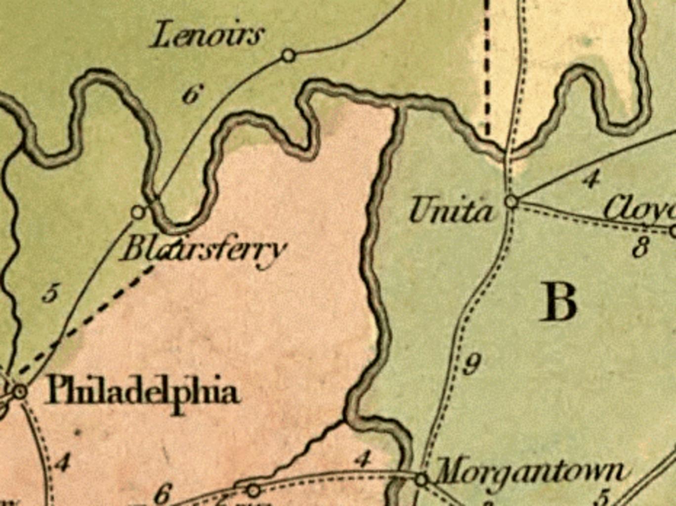
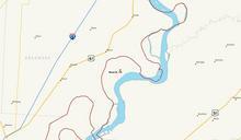
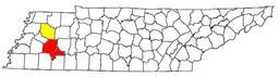
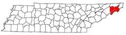
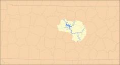
Loudonmaptn. en era map showing what is now Loudon County in the state of Tennessee Lenoirs refers to the Lenoir family estate now Lenoir City Blairs Ferry is now Loudon Morgantown Morganton is now submerged by Tellico Lake but roughly corresponds to modern Greenback loc gov gmd Library of Congress Digital Map Collections David